
Day 28 (Friday, May 28, 2021)
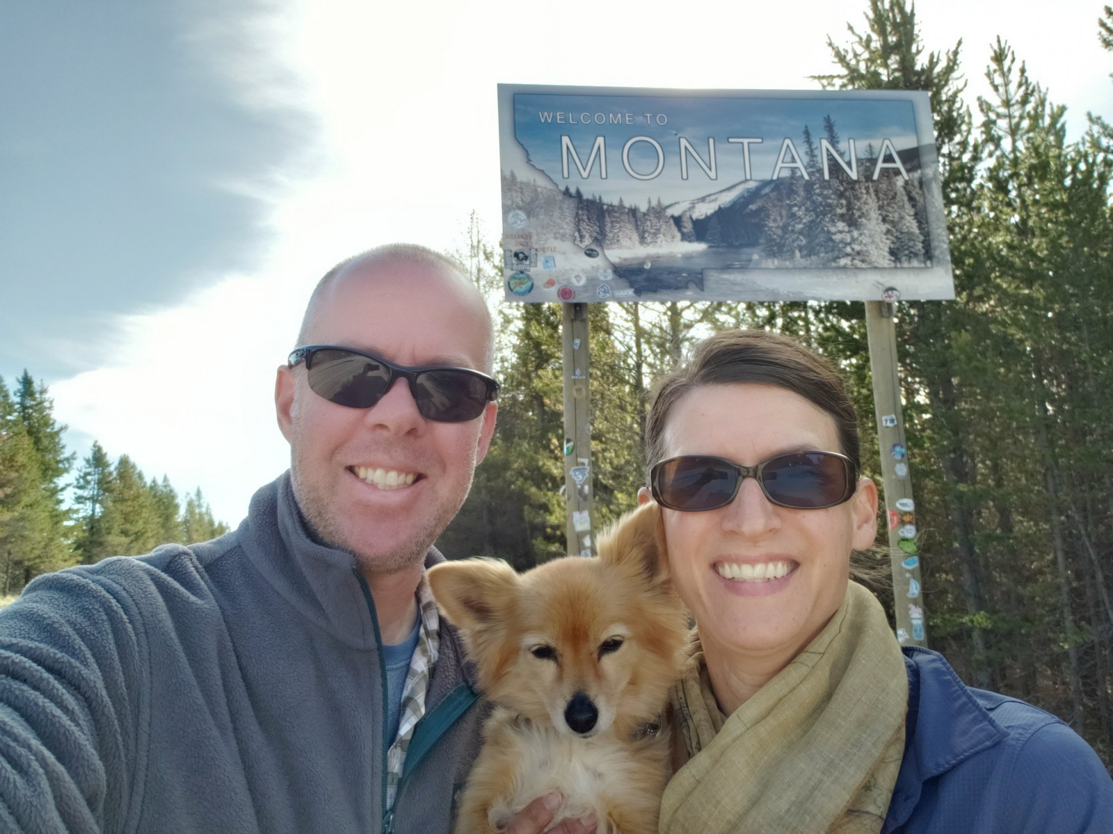
After packing up Friday morning, we leave Montana just a few miles outside the campground, and also cross the Continental Divide as we enter Idaho, our home for the next few days. But first things first – time to refresh and refuel!
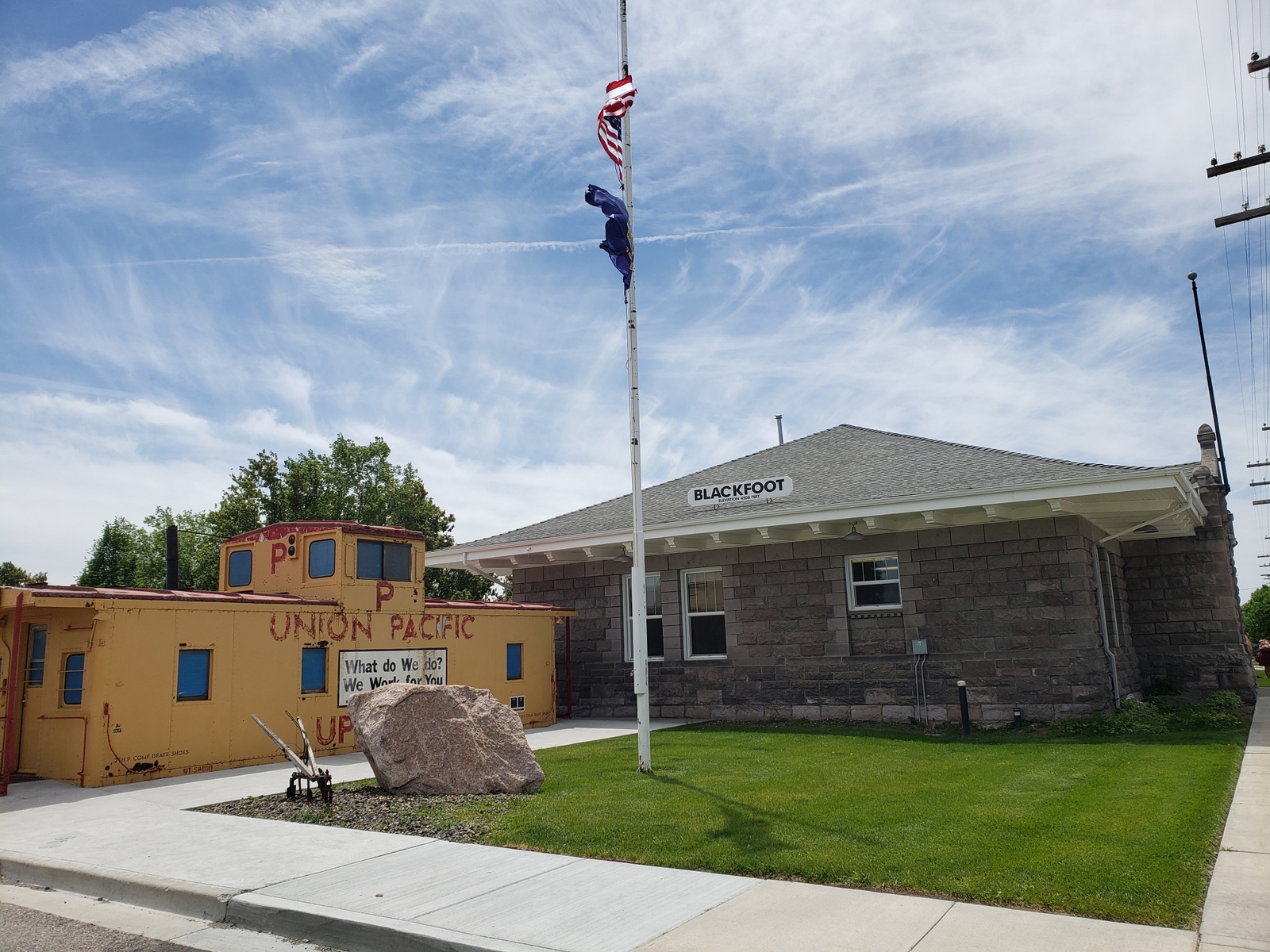
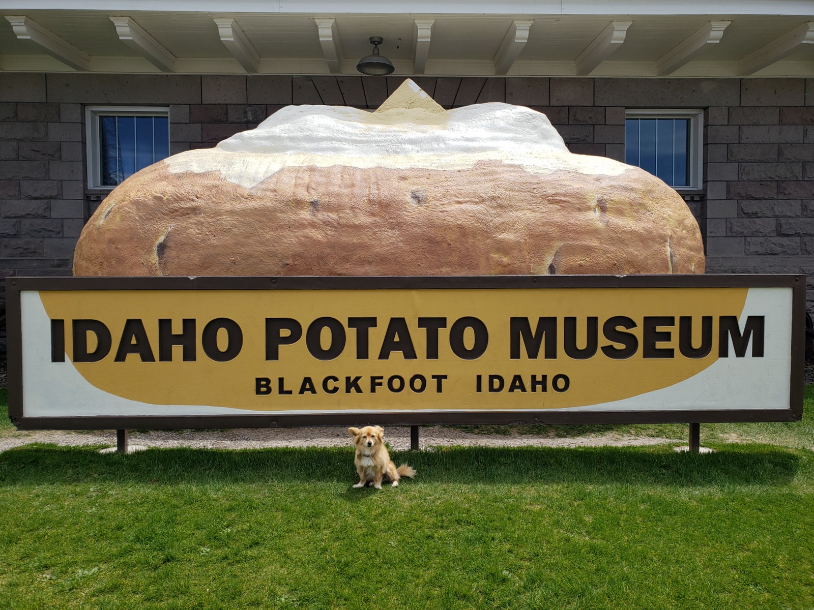
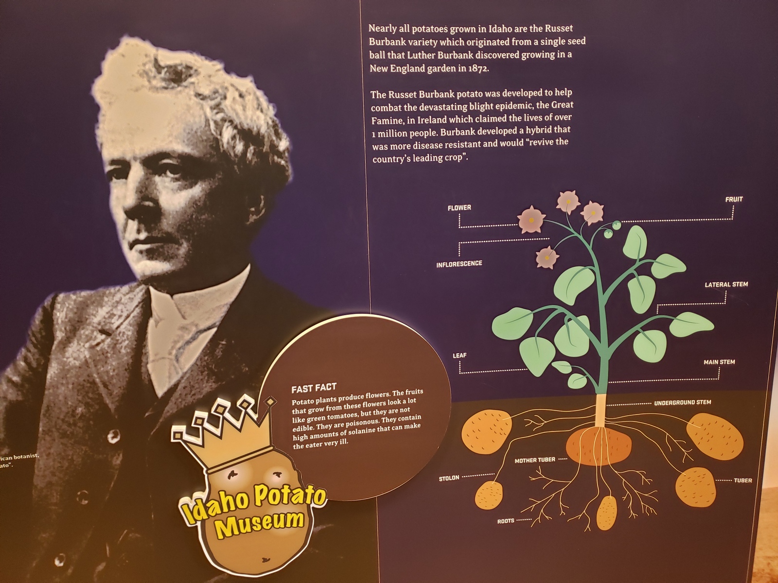
Just about two hours south we get to Blackfoot, ID, where we not only stop for supplies and gas, but also for a pick up at the local Amazon locker (yup, Kirk can’t help himself and had ordered some stuff online and delivered here). Then it’s off to the local sight-to-see: the Idaho Potato Museum! As corny as it sounds, it’s actually pretty interesting to learn more about this staple in everyone’s kitchen and diet.
With limited camping options in town (for full hook ups), we head north a little to Idaho Falls, ID, to stay the night at the Snake River RV Park.
Day 29 (Saturday, May 29, 2021)
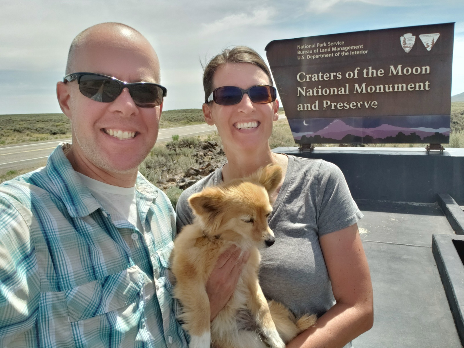
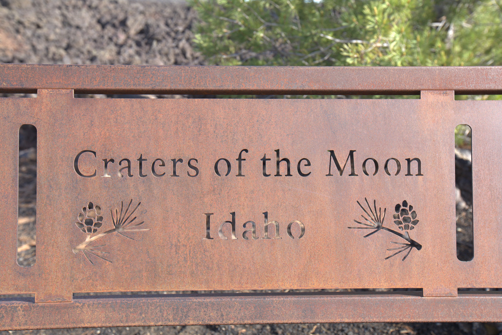
After more than a couple thousand miles on the road over the last 4 weeks, we are reaching for the moon today. Not quite literally, but as close as one can get with a trailer in tow in this part of the country: Craters of the Moon National Monument!
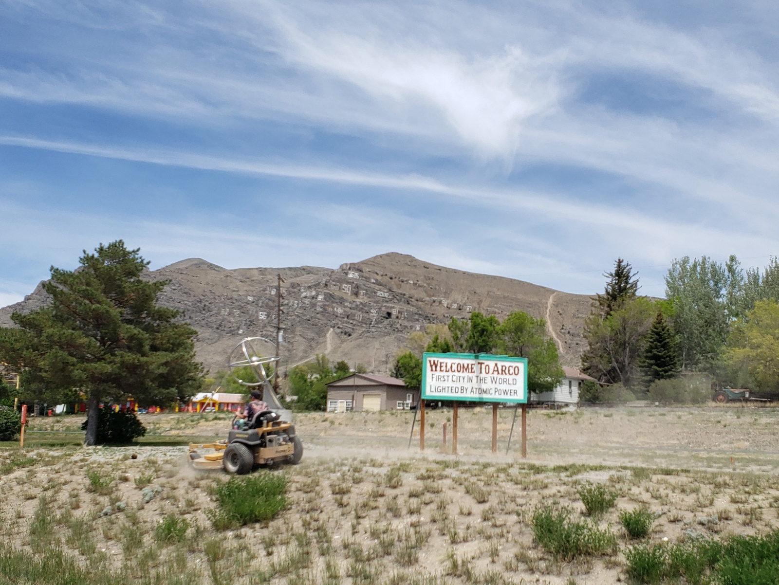
The path there is fairly straight forward: head east on Hwy 20/26 until you hit the visitor center. But along the way, we pass not only INL (Idaho National Laboratory) near Atomic City, ID, but also the town of Arco: “The first city in the world lighted by atomic power”. Not only that, but it’s also home to the Arco Number Hill (where the graduating class of Butte County High School has been painting their year number onto the rock since 1920) and the Idaho Science Center including the sail of the USS Hawkbill (SSN-666) submarine, decommissioned in 2000 and now “Idaho’s Submarine in the Desert”.
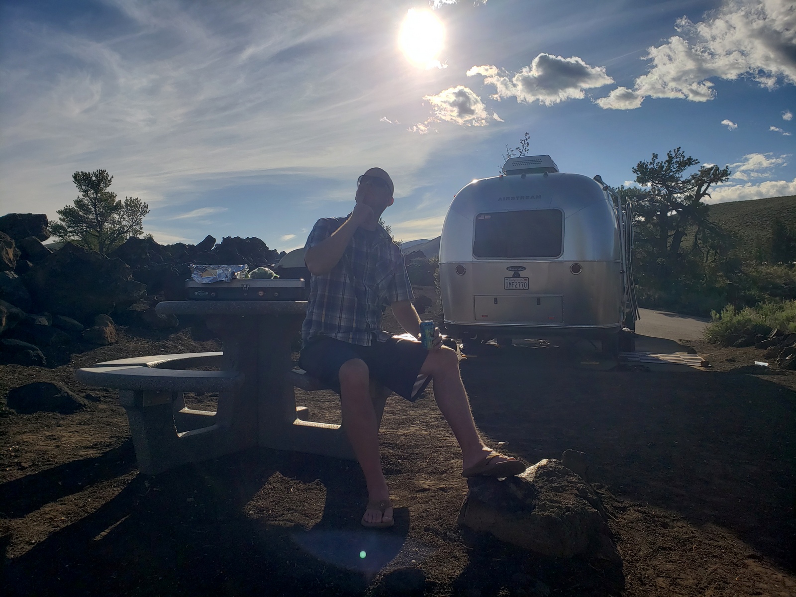
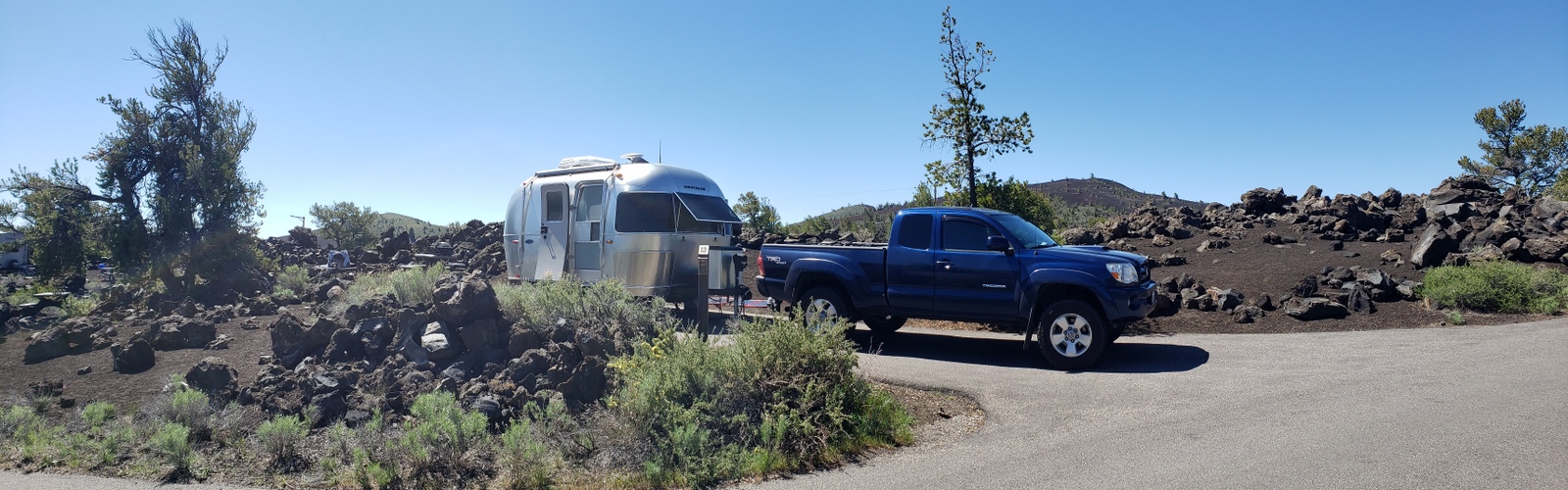
Finally, it’s the gateway to Craters of the Moon NM, about 18 miles outside of town. It’s Saturday afternoon on a long holiday weekend, as we’re approaching the Lawa Flow Campground, with its 42 first-come-first-serve sites. But as luck will have it, there are still a handful of sites open and lucky #13 will be ours for the next few nights!
Day 30 (Sunday, May 30, 2021)
It’s been a busy few days so today is all about relaxing. The only activity on our schedule today is to check out the park’s visitor center and get our permit to visit the caves tomorrow.
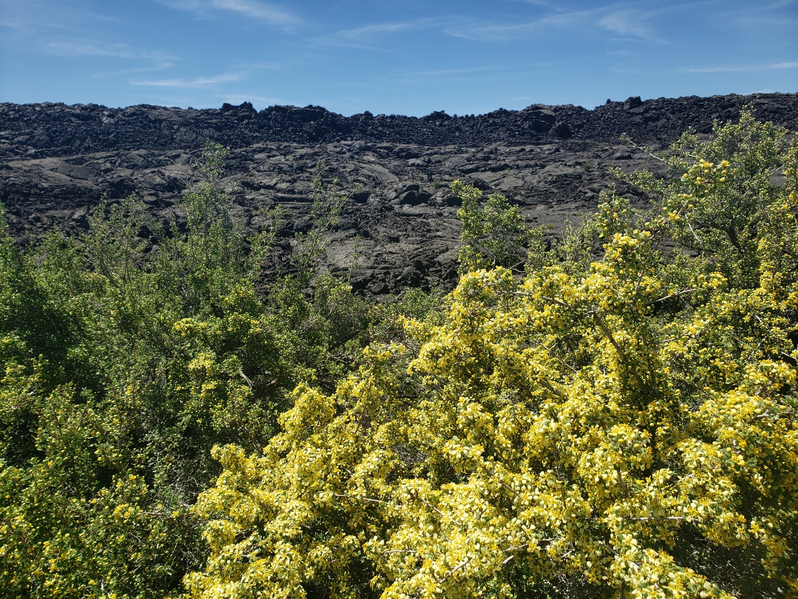
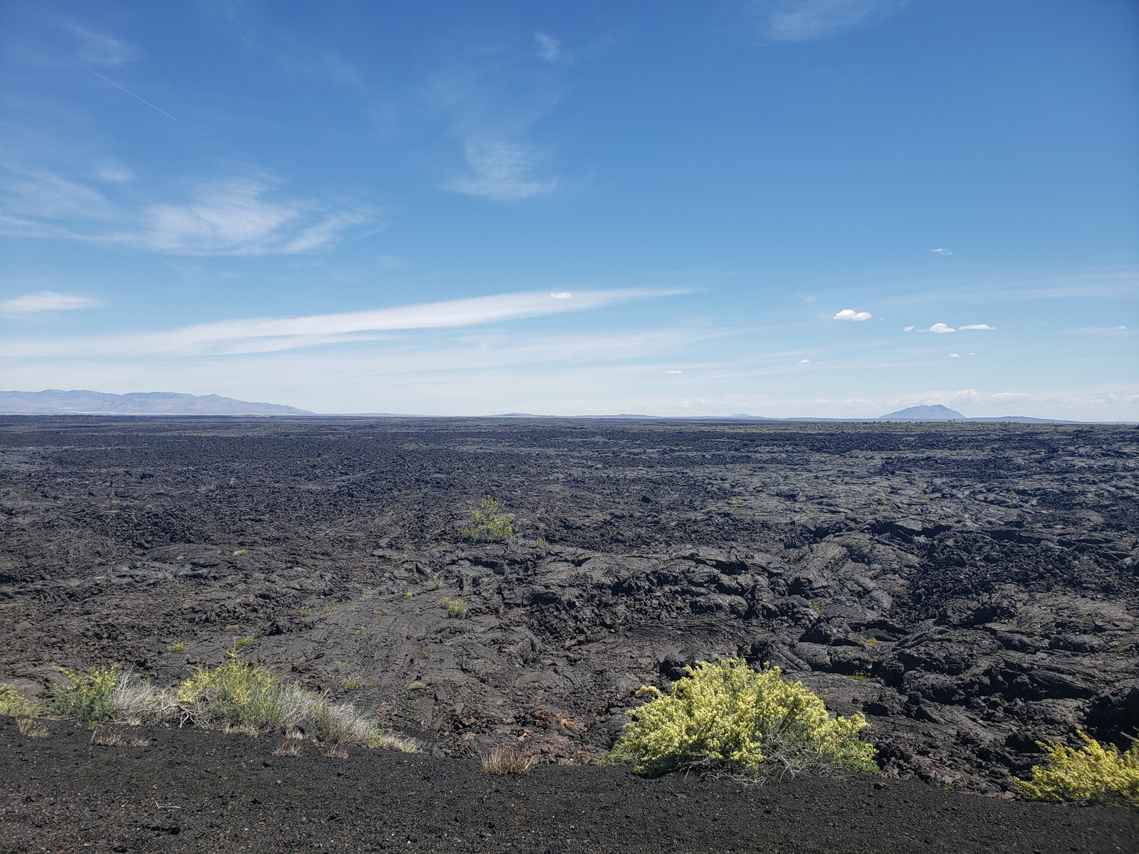
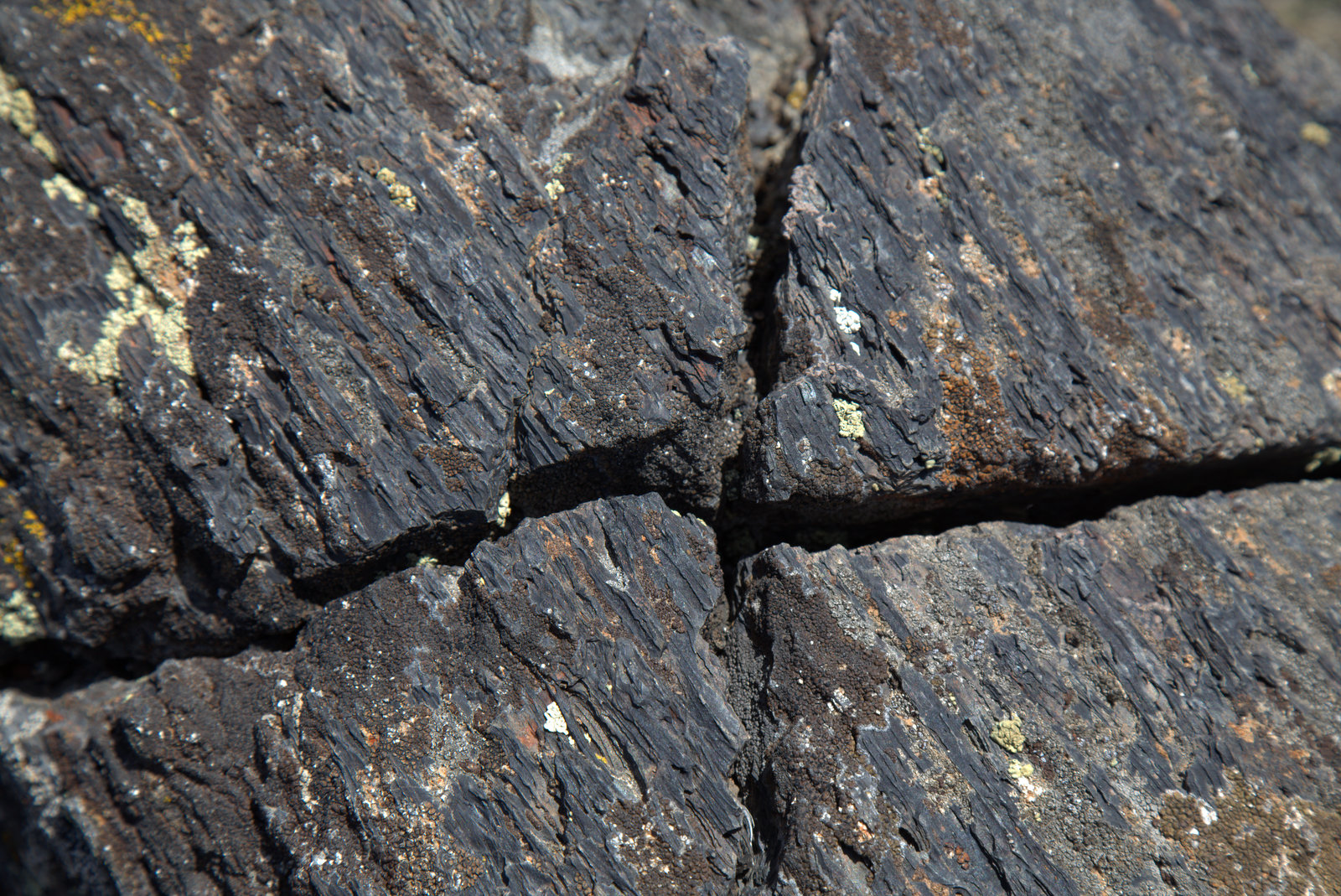
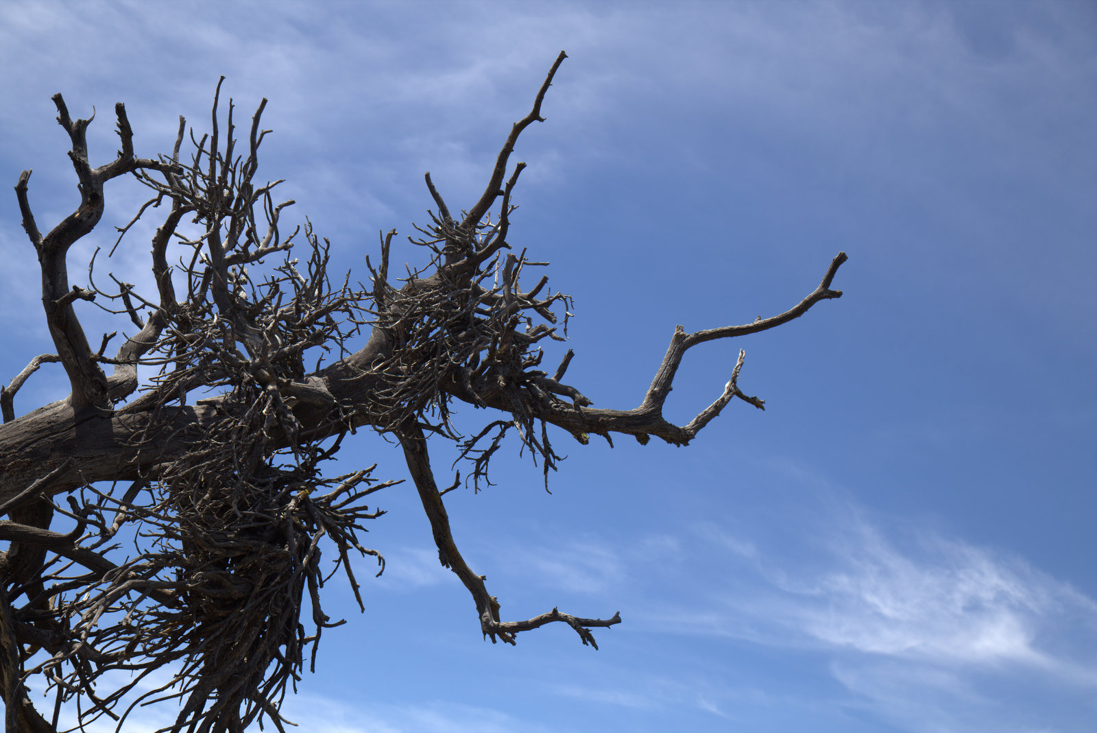
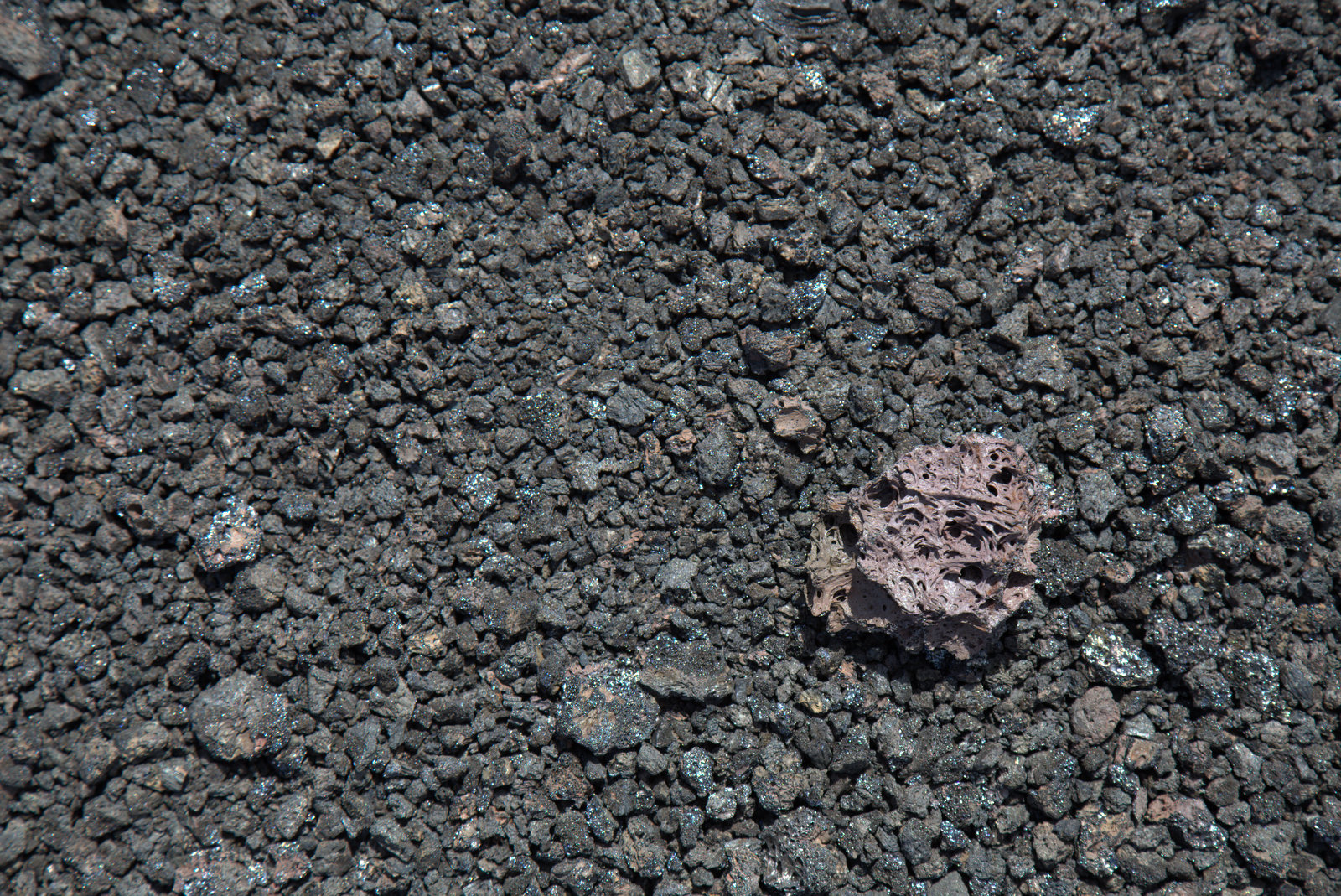
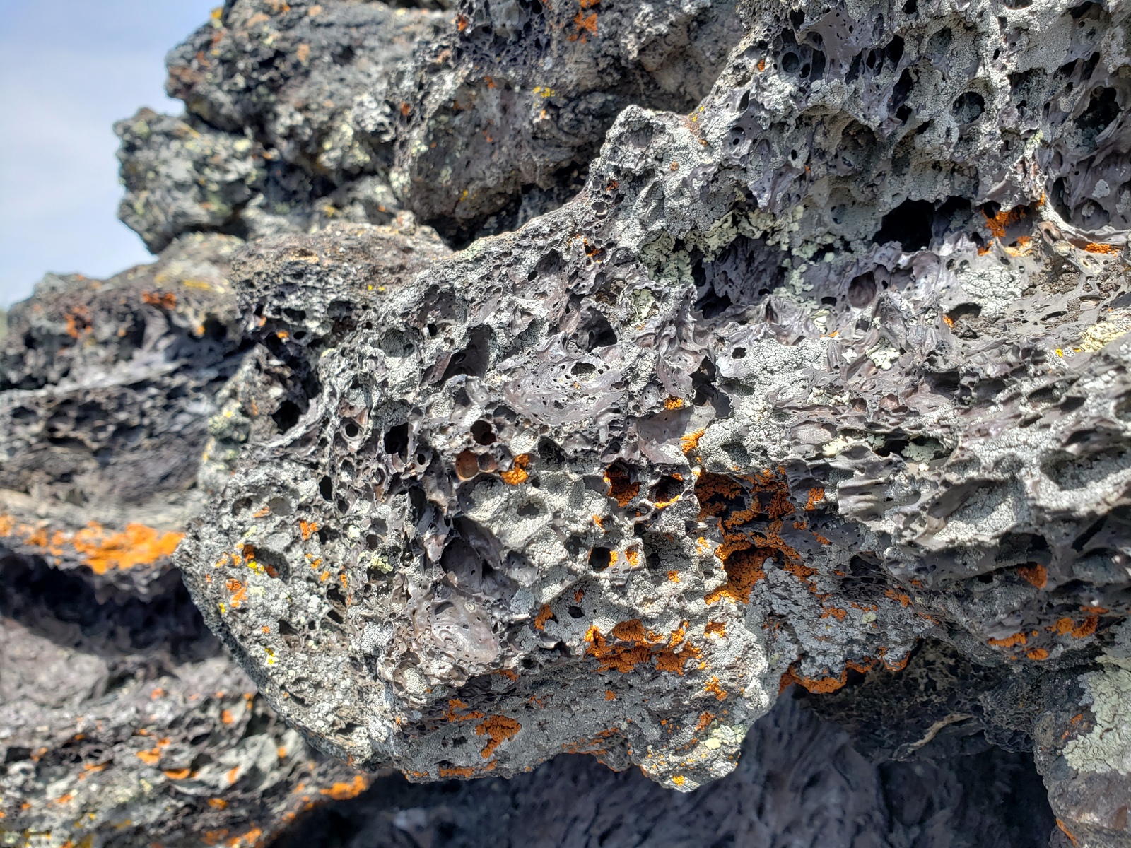
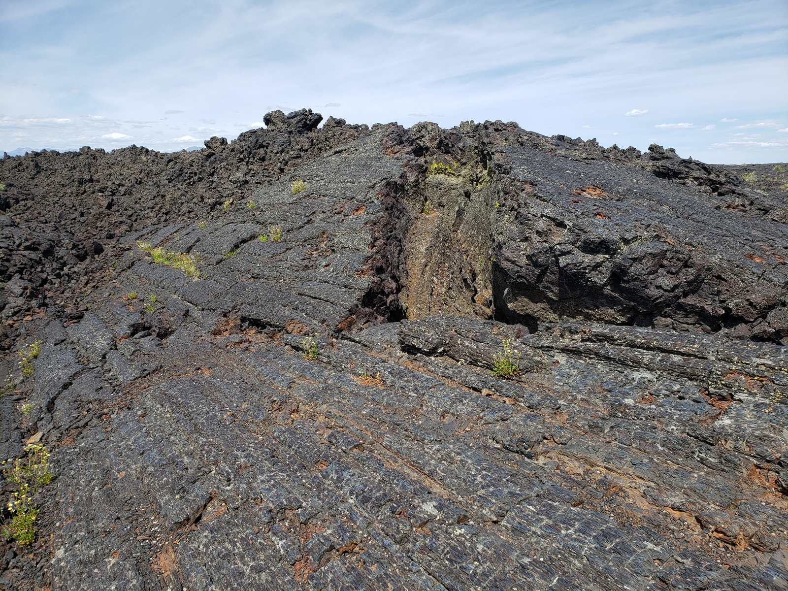
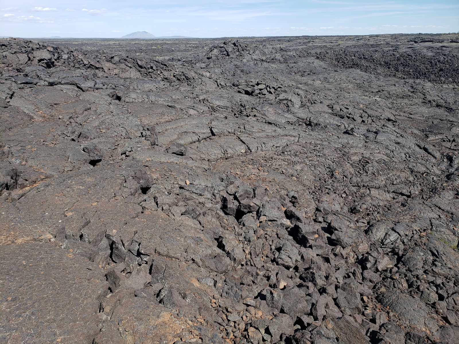
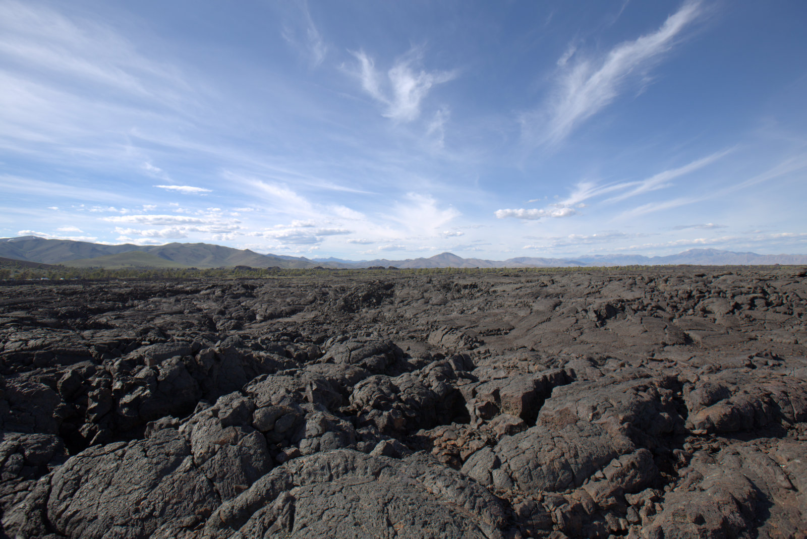
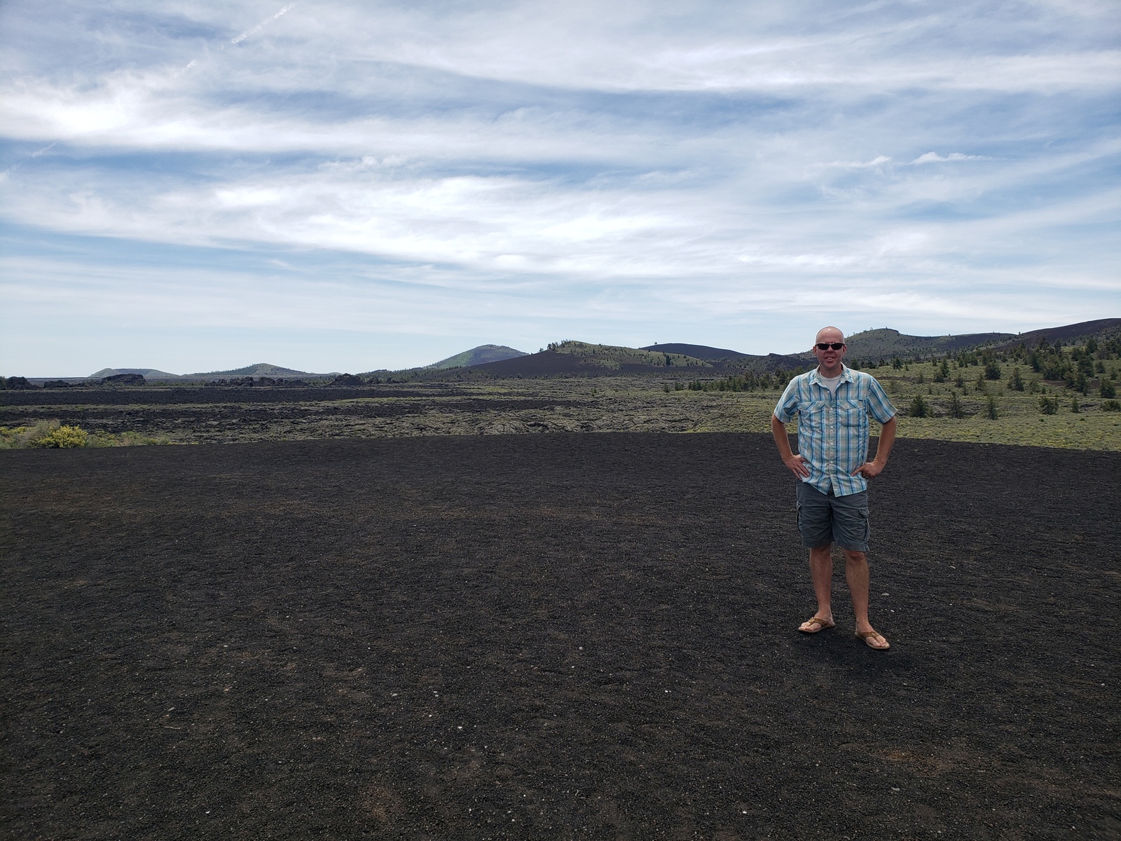
Being surrounded by lava rocks at the campground, we are ready to learn and see more of what this little park has to offer. In 1923, geologist Harold T. Stearns described this area as “the surface of the moon as seen through a telescope”. He saw “dark craters and the cold lava, nearly destitute of vegetation”. Its strangeness stirred local legends, wider public interest, then a feature story in National Geographic magazine. In 1924, President Coolidge proclaimed the area a National Monument, preserving “a weird and scenic landscape, peculiar to itself”.
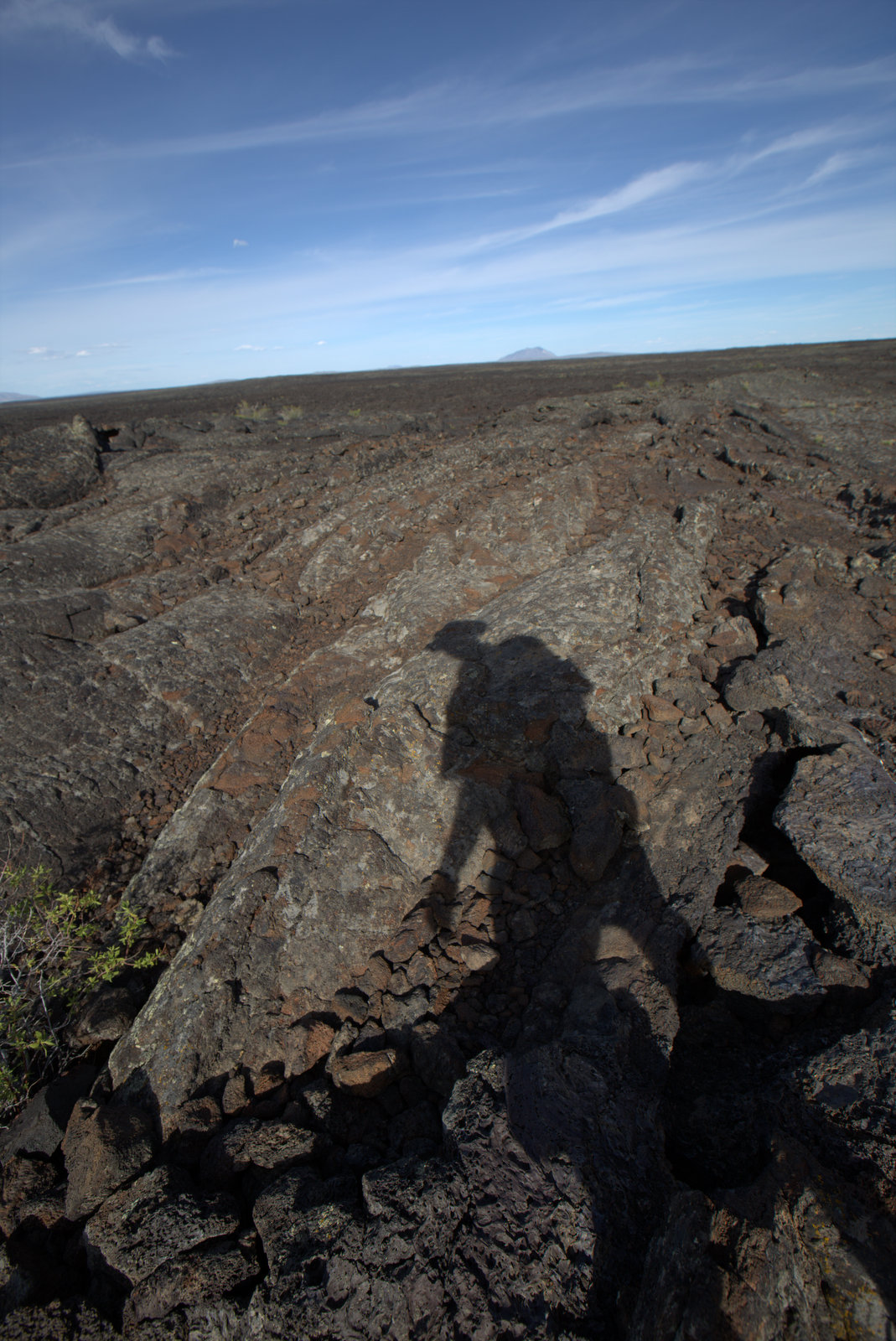
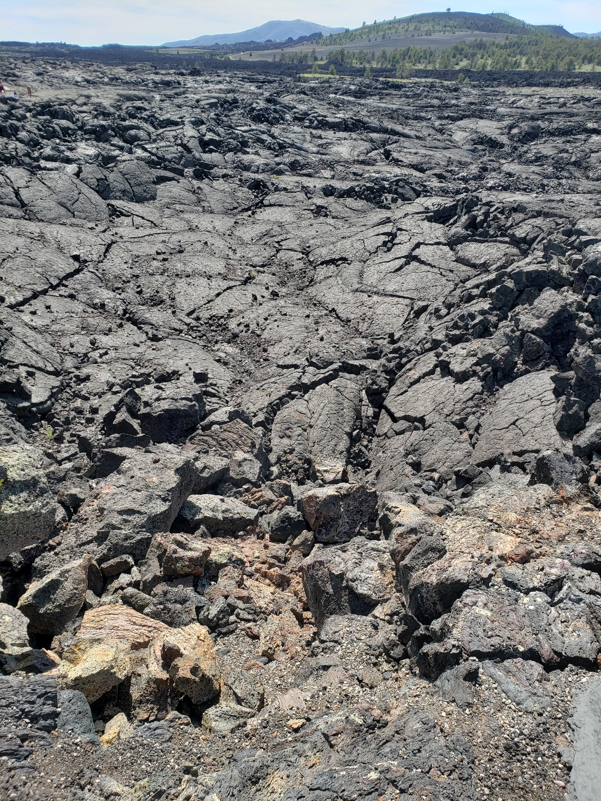
While most lunar craters resulted from meteorite impacts, Craters of the Moon are definitely of volcanic origin. The vast volumes of lava issued not from one volcano but from a series of fissures – known collectively as the Great Rift – that cross the Snake River Plain. Beginning 15,000 years ago lava welled up from the Great Rift to produce this vast ocean of rock. The most recent eruption occurred a mere 2,000 years ago, and geologists believe that future events are likely.
Day 31 (Monday, May 31, 2021)
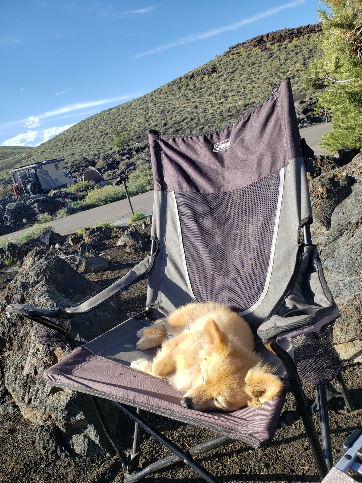
First things first: Happy 11th Birthday to Ms. J.T.! Hard to believe that this little dog has been joining our travels for the last 9 years, since we found her just outside Joshua Tree National Park on Memorial Day 2012.
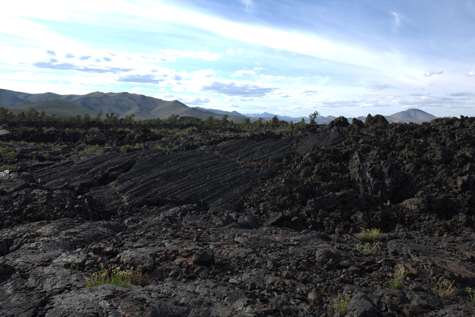
Today’s itinerary has us explore the sights of Craters of the Moon. We start with a simple drive along the 7-mile loop trail, to get a first glimpse of all the areas waiting to be explored. Then we go for round #2, including stops and hikes at the various points of interest.
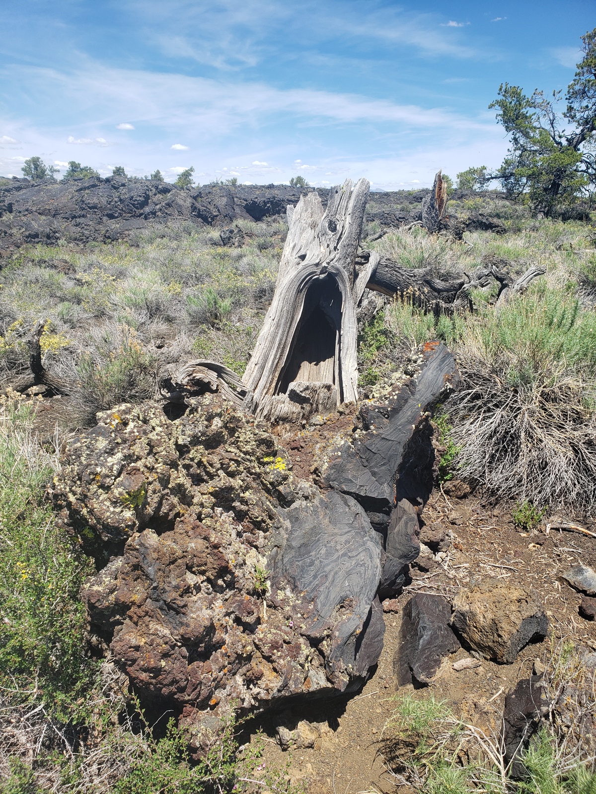
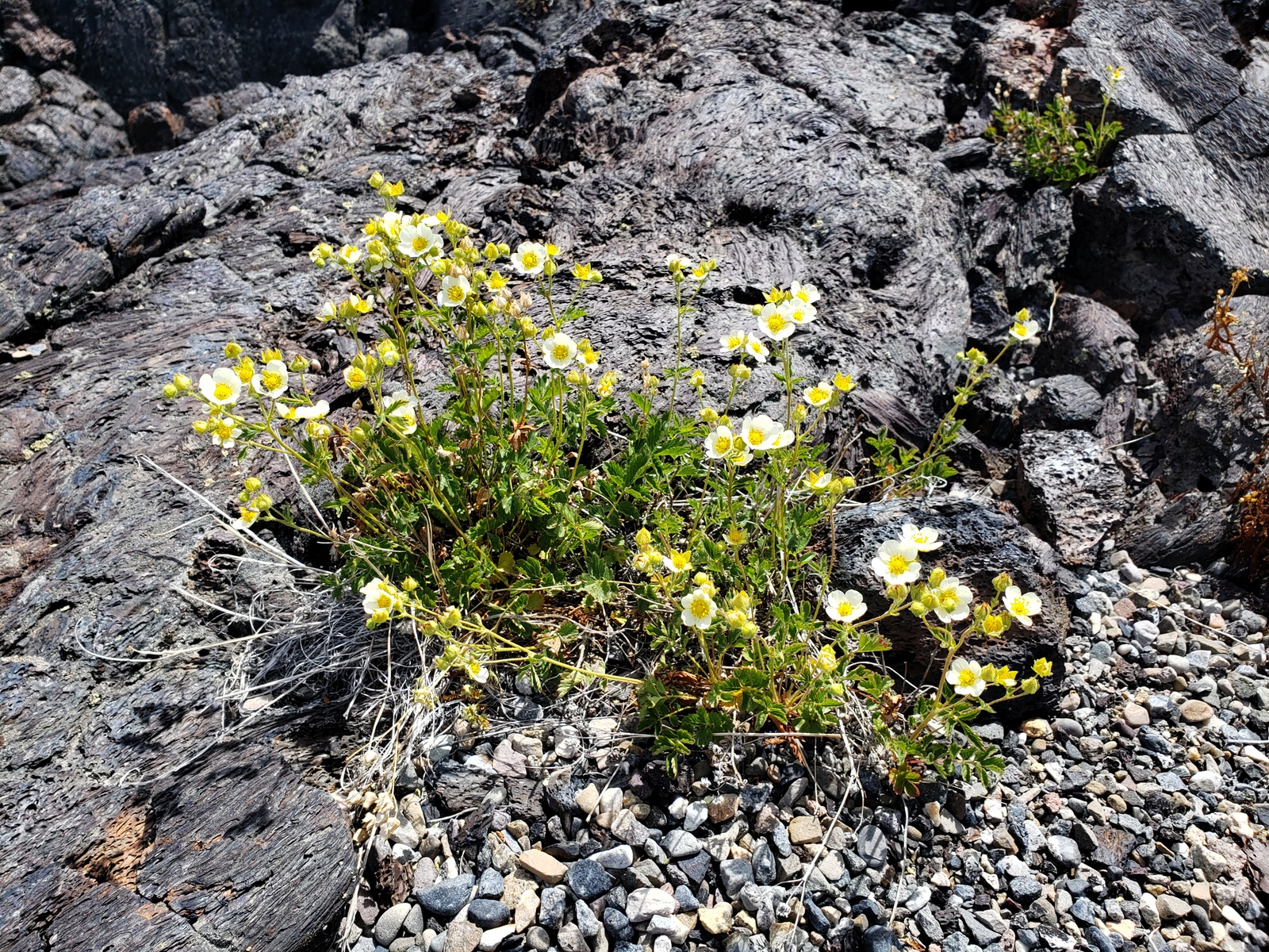
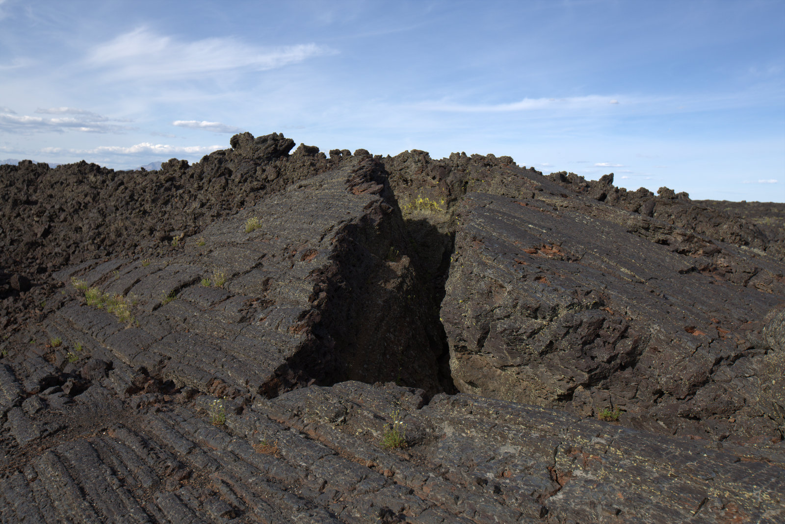
Devils Orchard has a short, easy nature trail where island-like lava fragments stand in a sea of cinders. When the nearby volcanos erupted violently 2K years ago, rivers of lava floated huge chunks of crater wall down to this spot. Time passed. Rocks crumbled. A hundred years ago, a visiting minister declared this jumble of rocks, shrubs, and trees to be a garden fit for the devil himself.
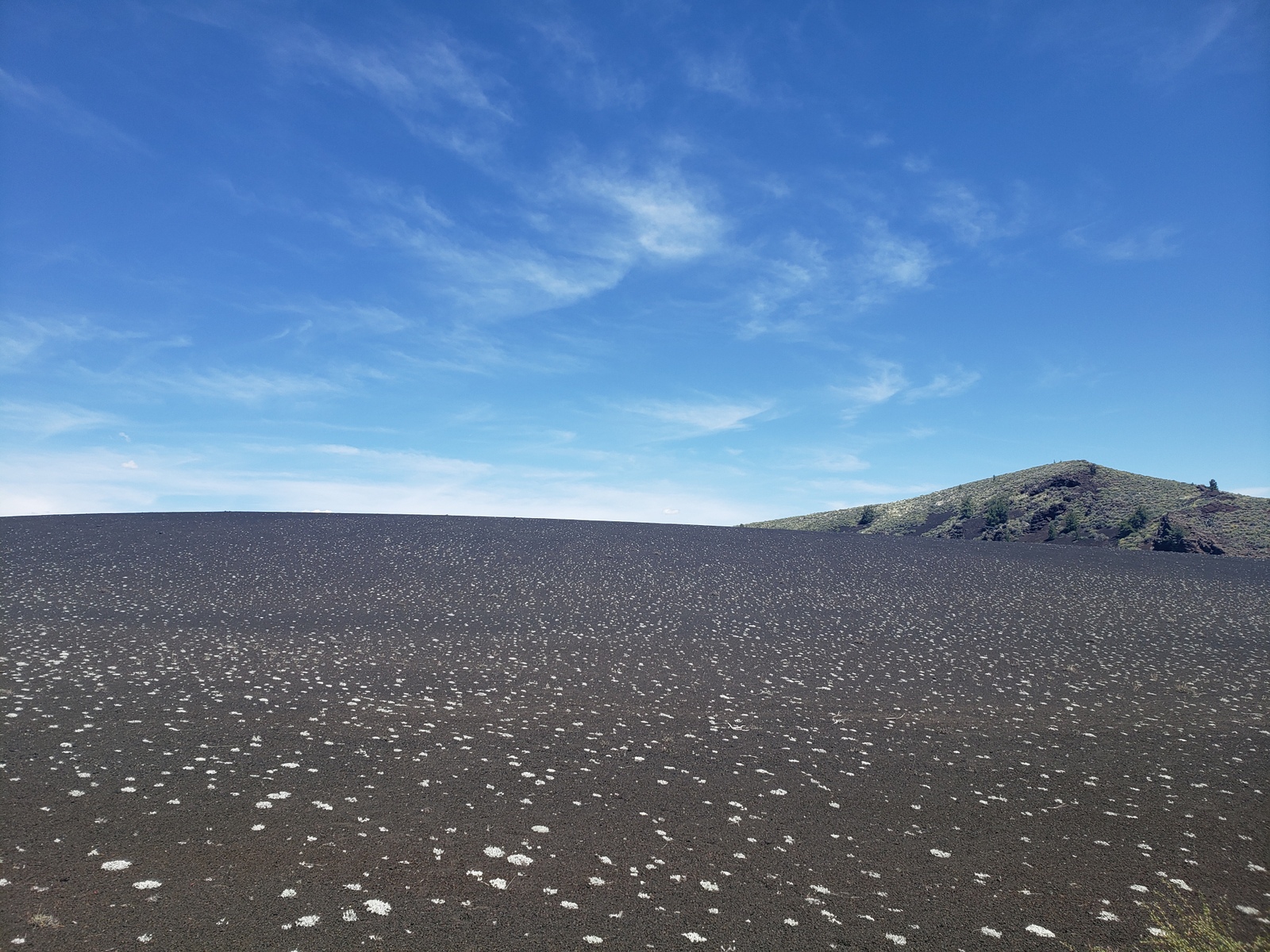
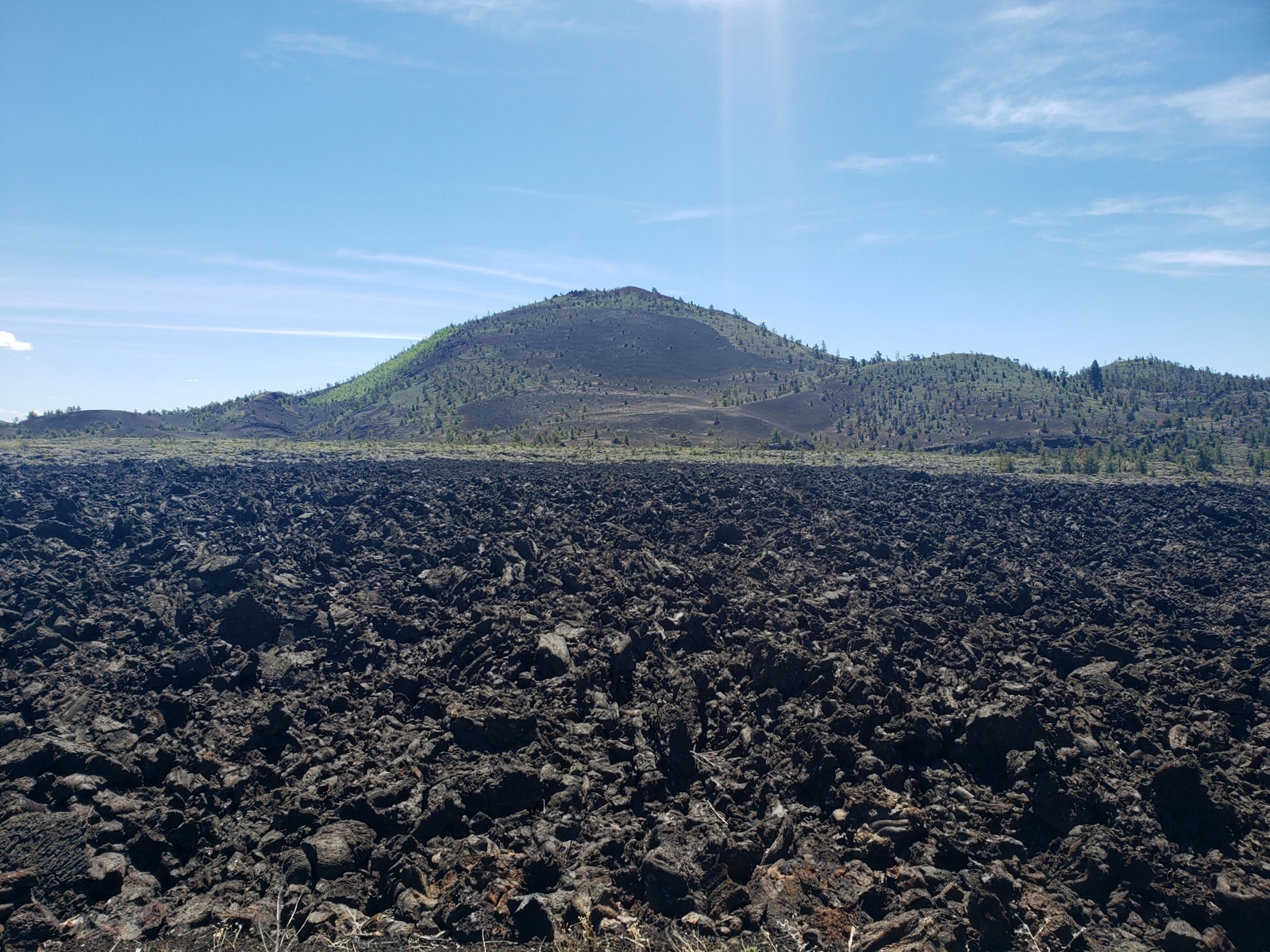
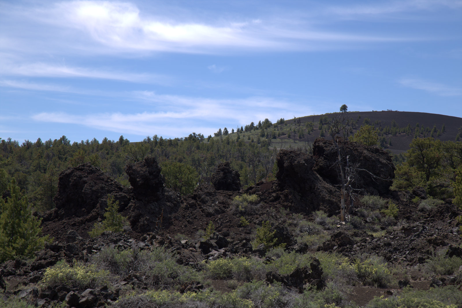
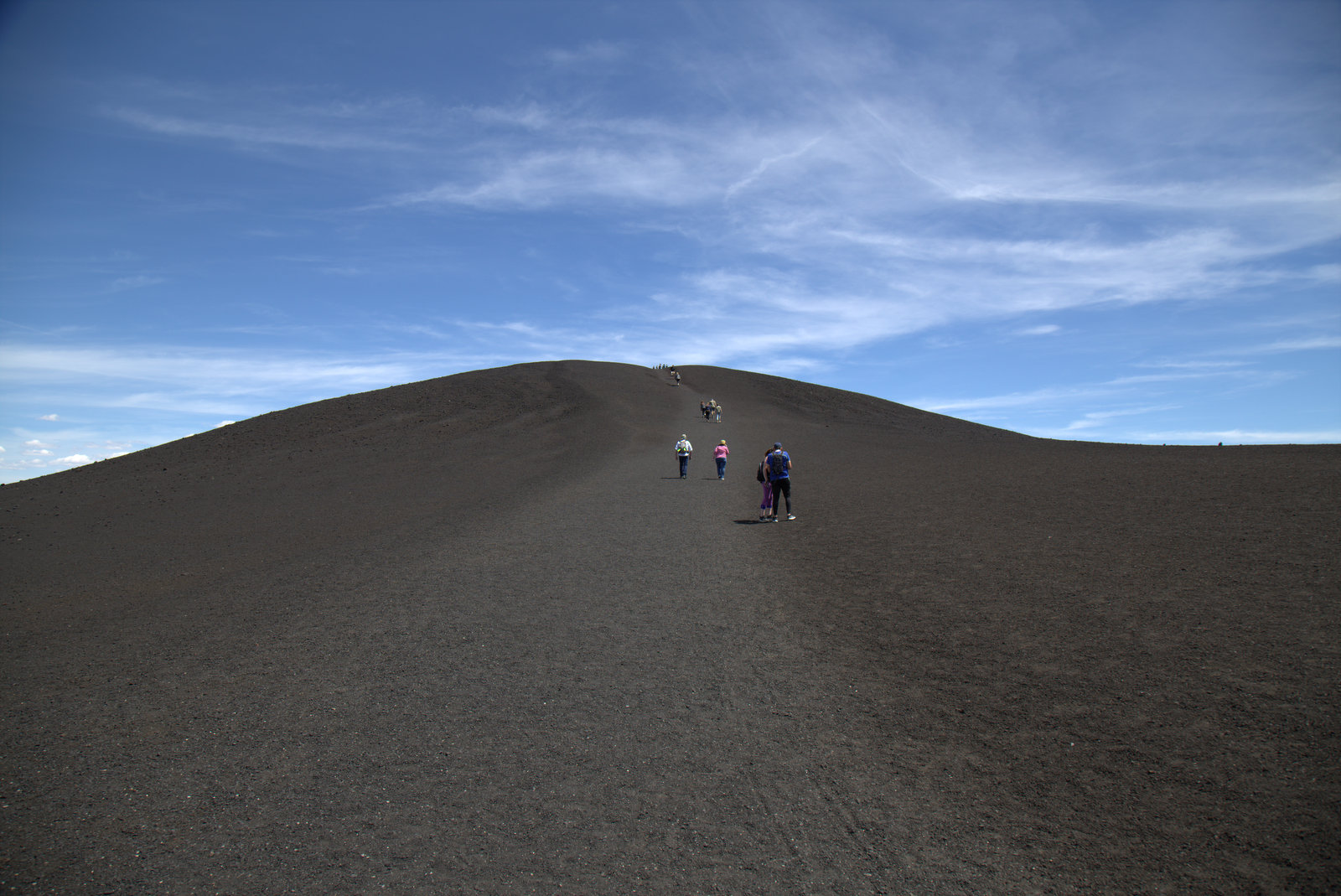
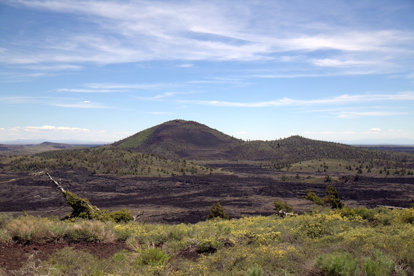
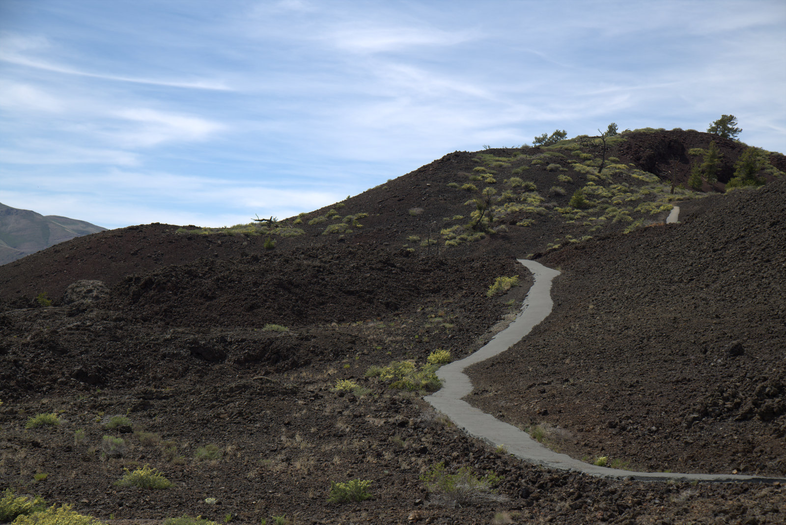
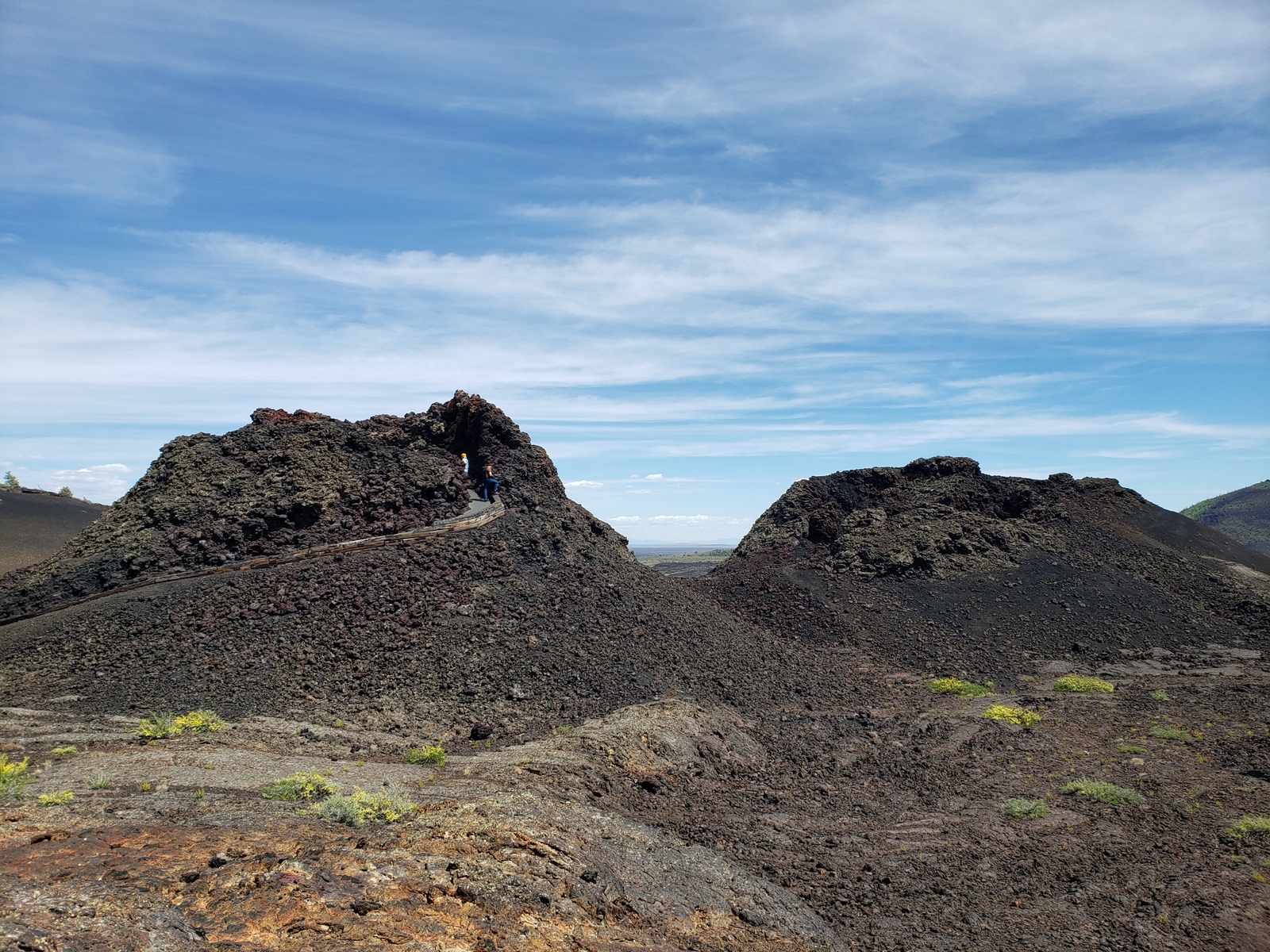
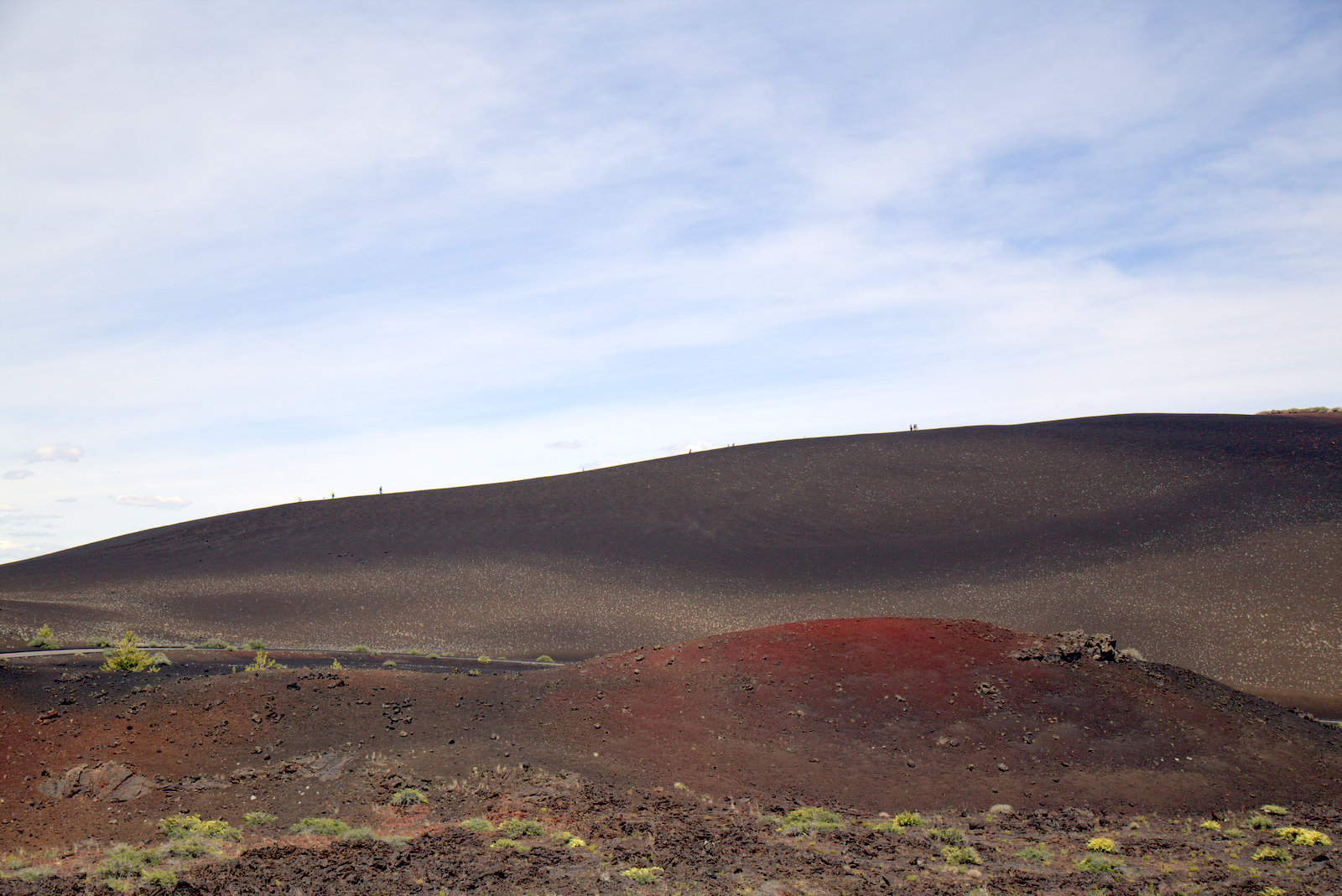
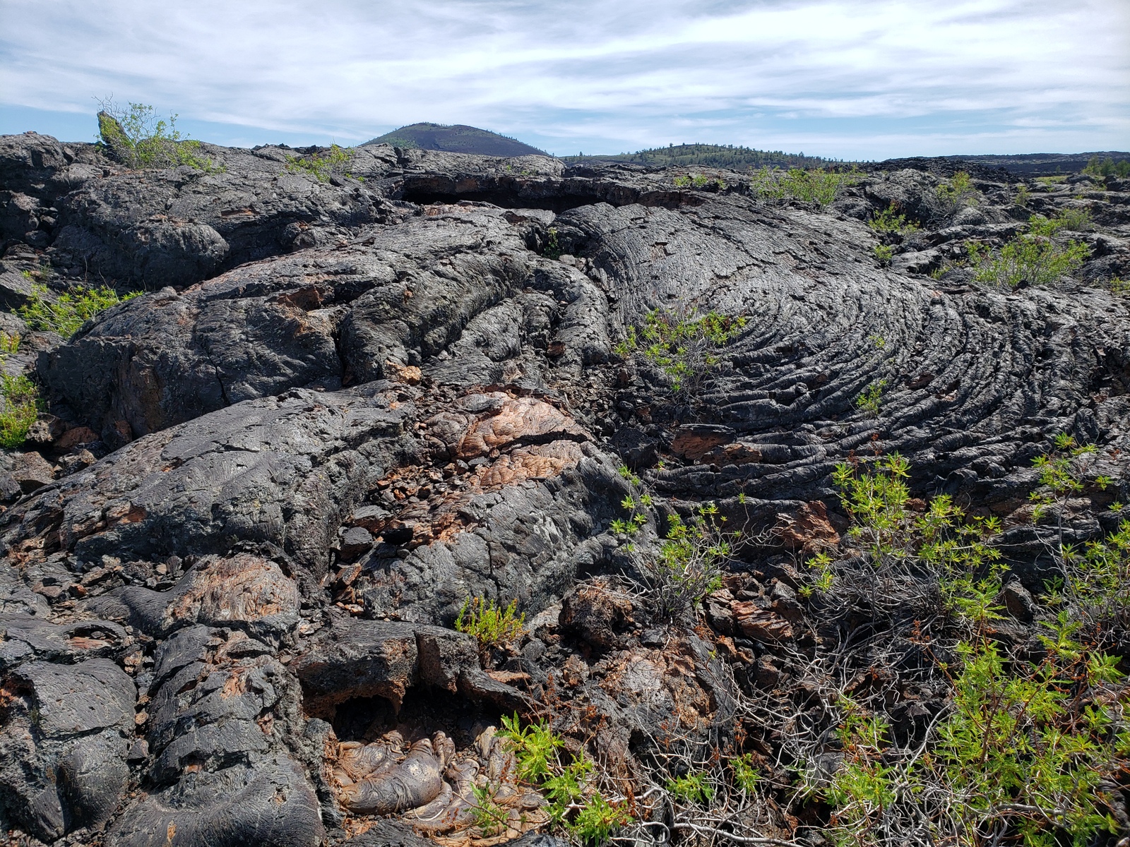
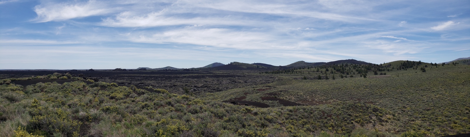
Next stop is at the Inferno Cone. A steep but short hike to the top of this cone rewards with a view of the cinder cones lined up along the Great Rift. Big Cinder Butte, towering above the lava plain to the south, is one of the world’s largest basaltic cinder cones.
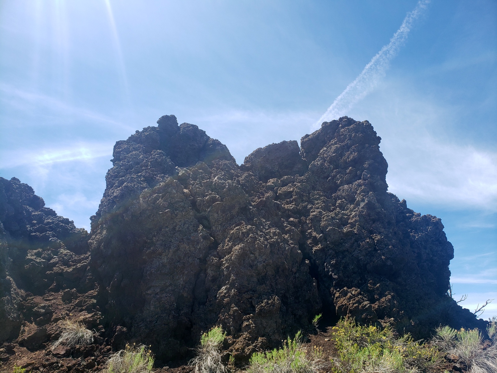
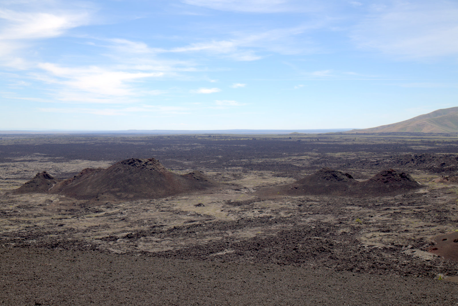
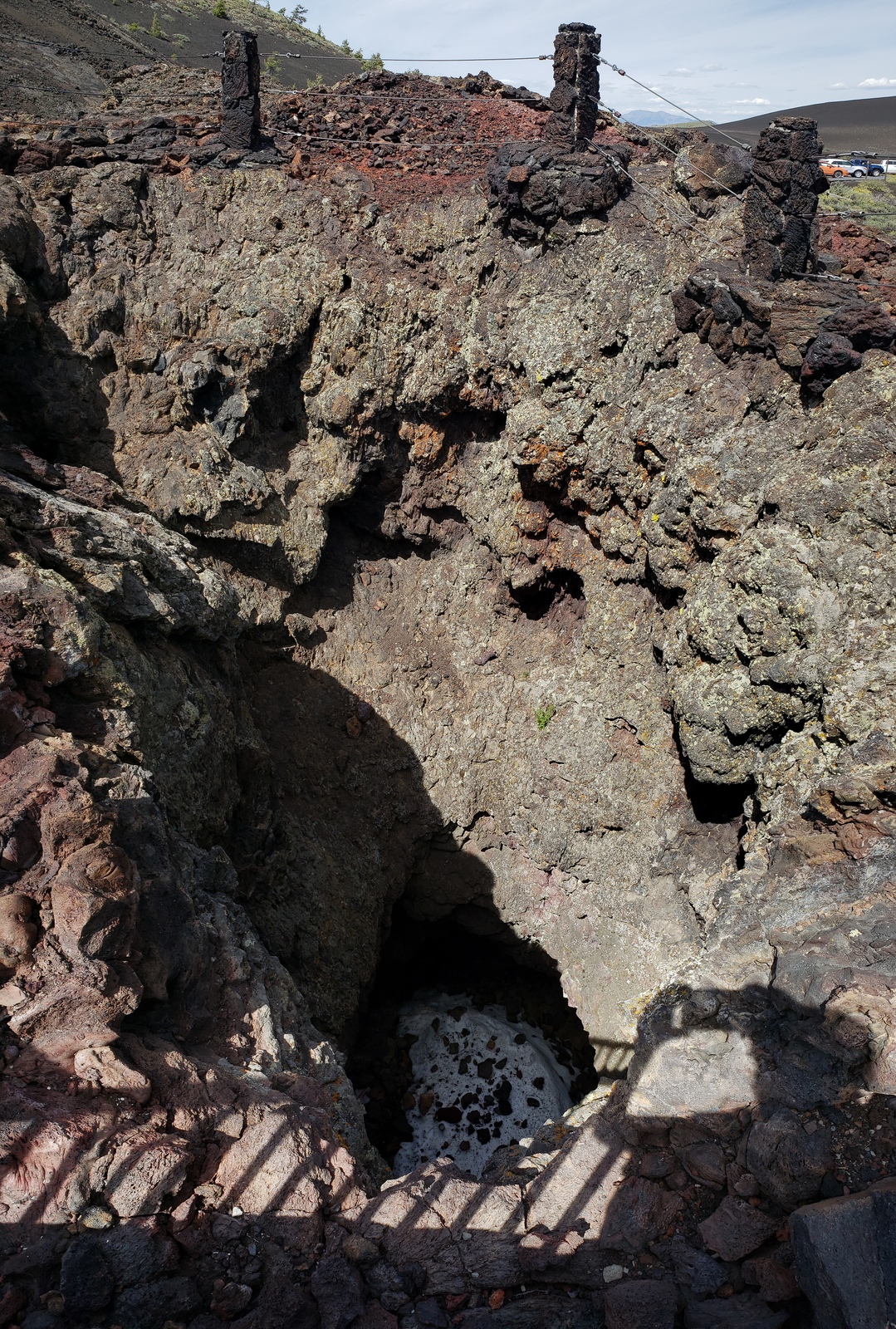
Just a quick drive onwards takes us to the Spatter Cones and Big Craters Area. An easy trail leads to these miniature volcanos, where you can view the spectacular Big Craters from the trail towards the west. The volcanoes formed when blobs of molten lava were lobbed into the air during the last gasp of an eruption sequence that ended about 2,100 years ago. Also at this site is Snow Cone – which unlike the other cones right here is hiding some snow and ice in the deep crater visible from the path.
We only make a quick stop at the next stop, which combines the trailheads to the Tree Molds Trail, Broken Top Trail and Buffalo Caves. The caves are closed as the resident bats have their “do not disturb” sign up.
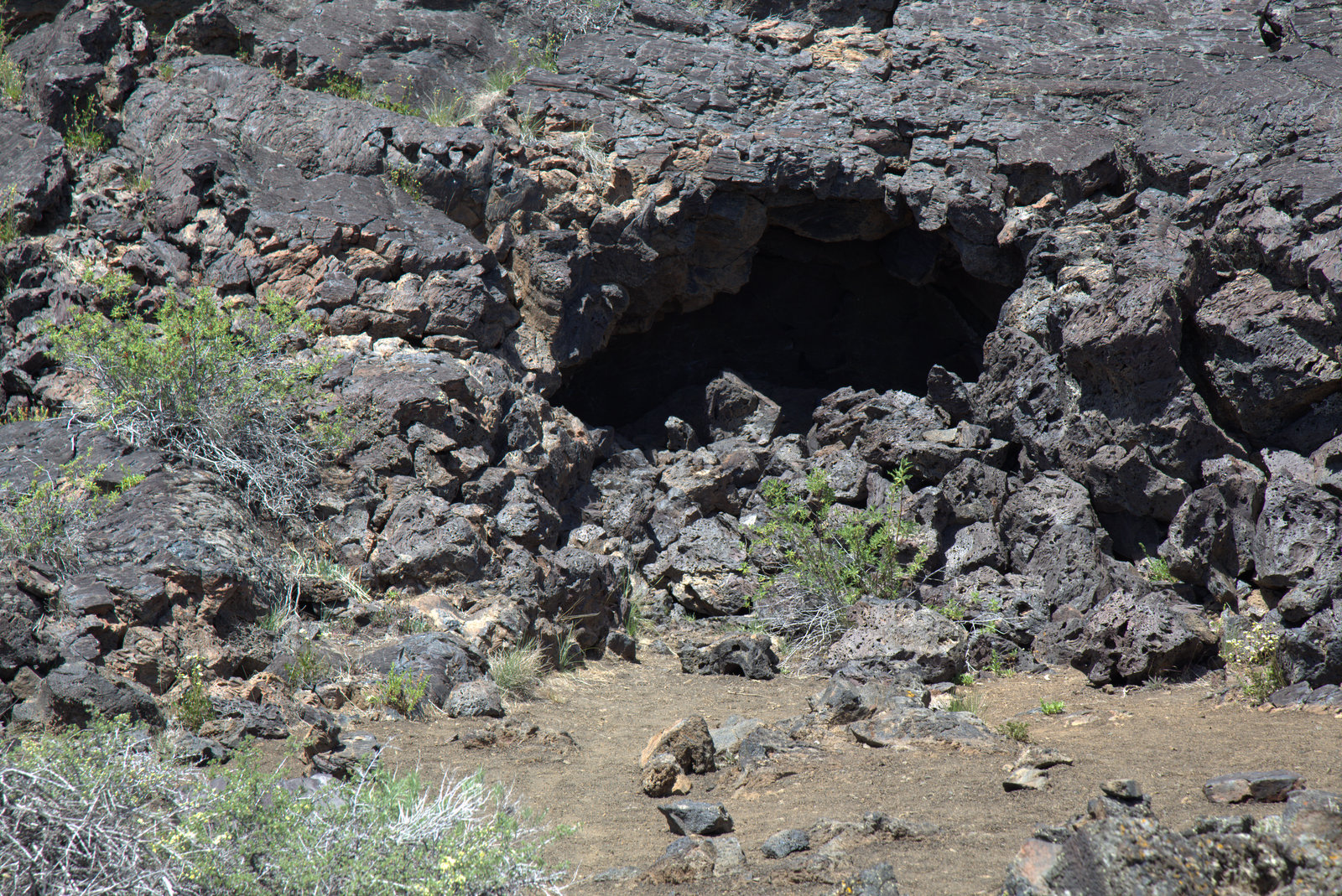
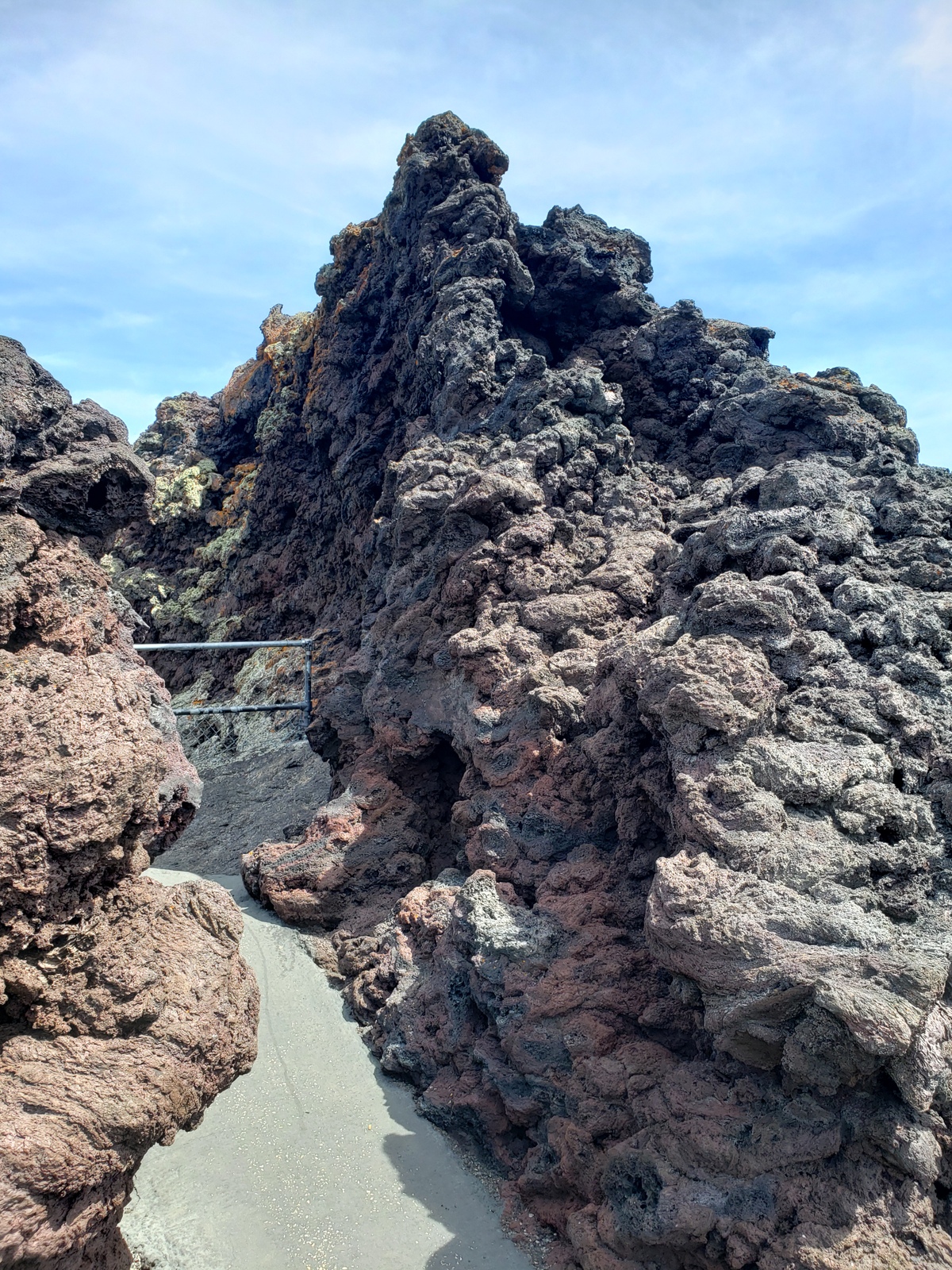
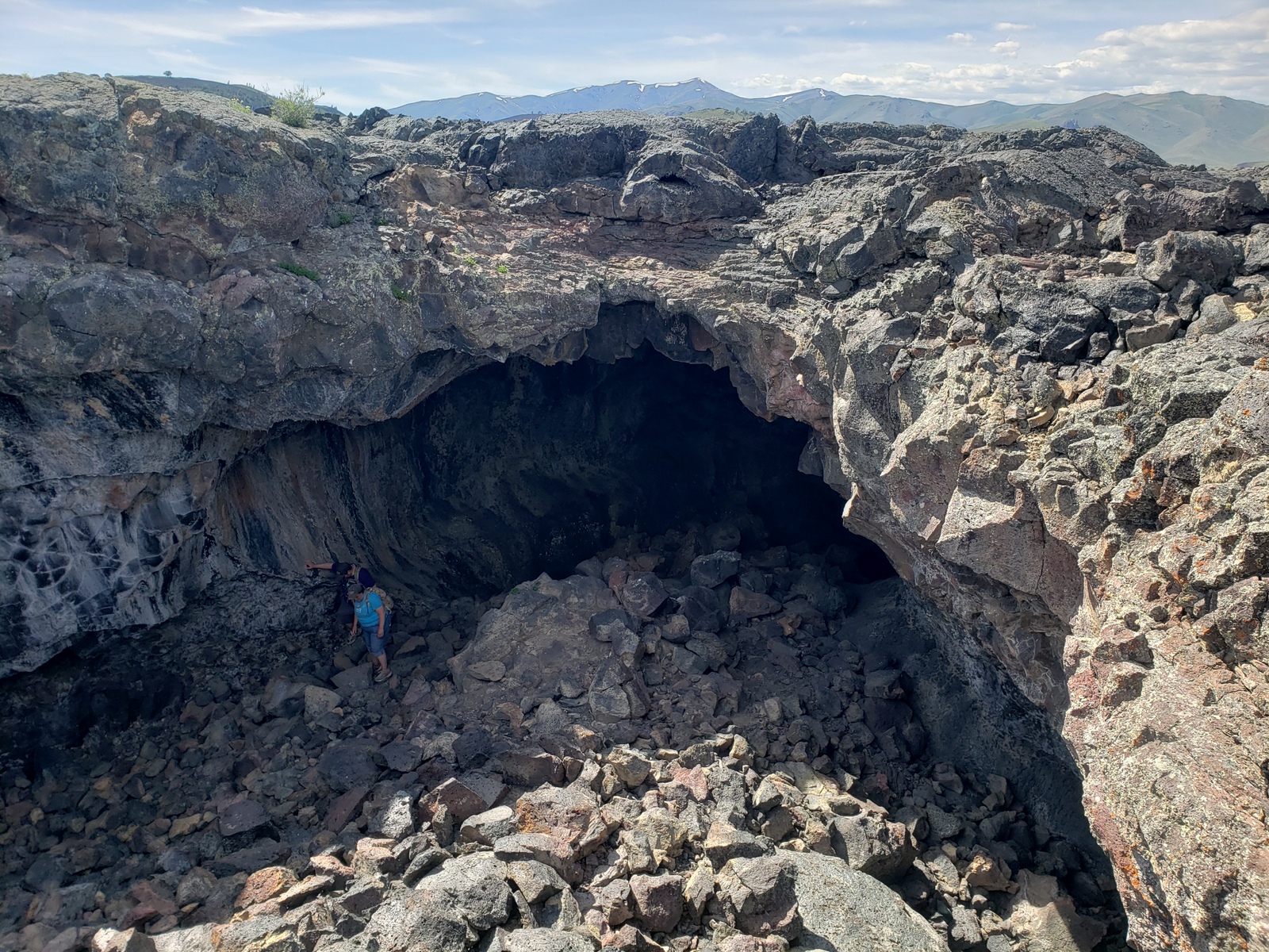
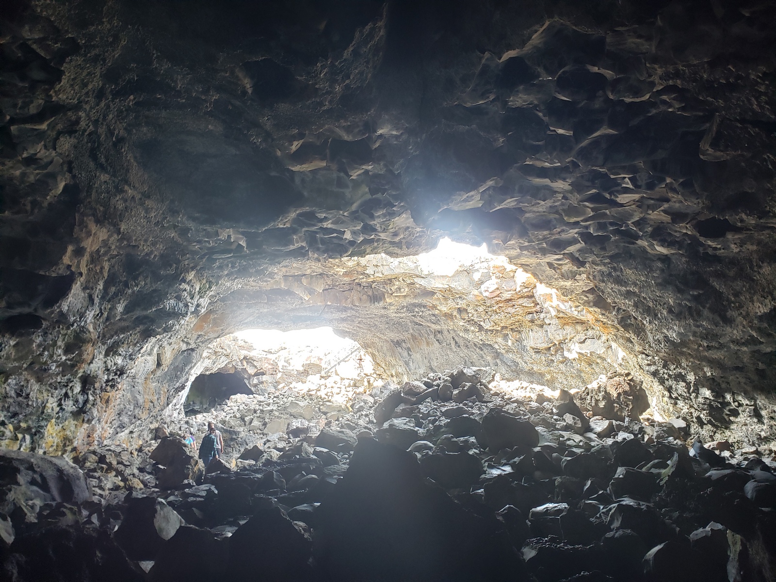
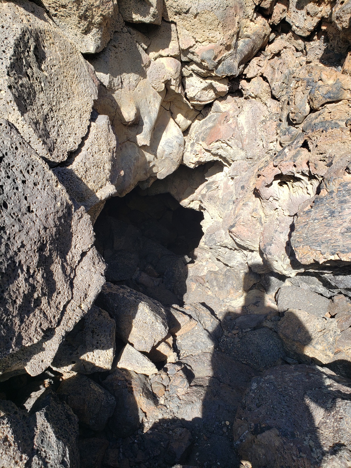
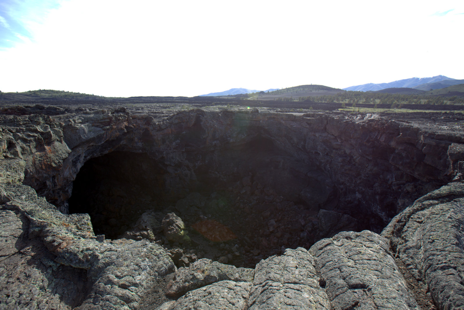
Last but most definitely not least is the Cave Area. From the trailhead here Kirk and I start venturing out towards the caves separately, as one stays behind at the truck with J.T. (no dogs on trails) while the other goes spelunking (sort of).
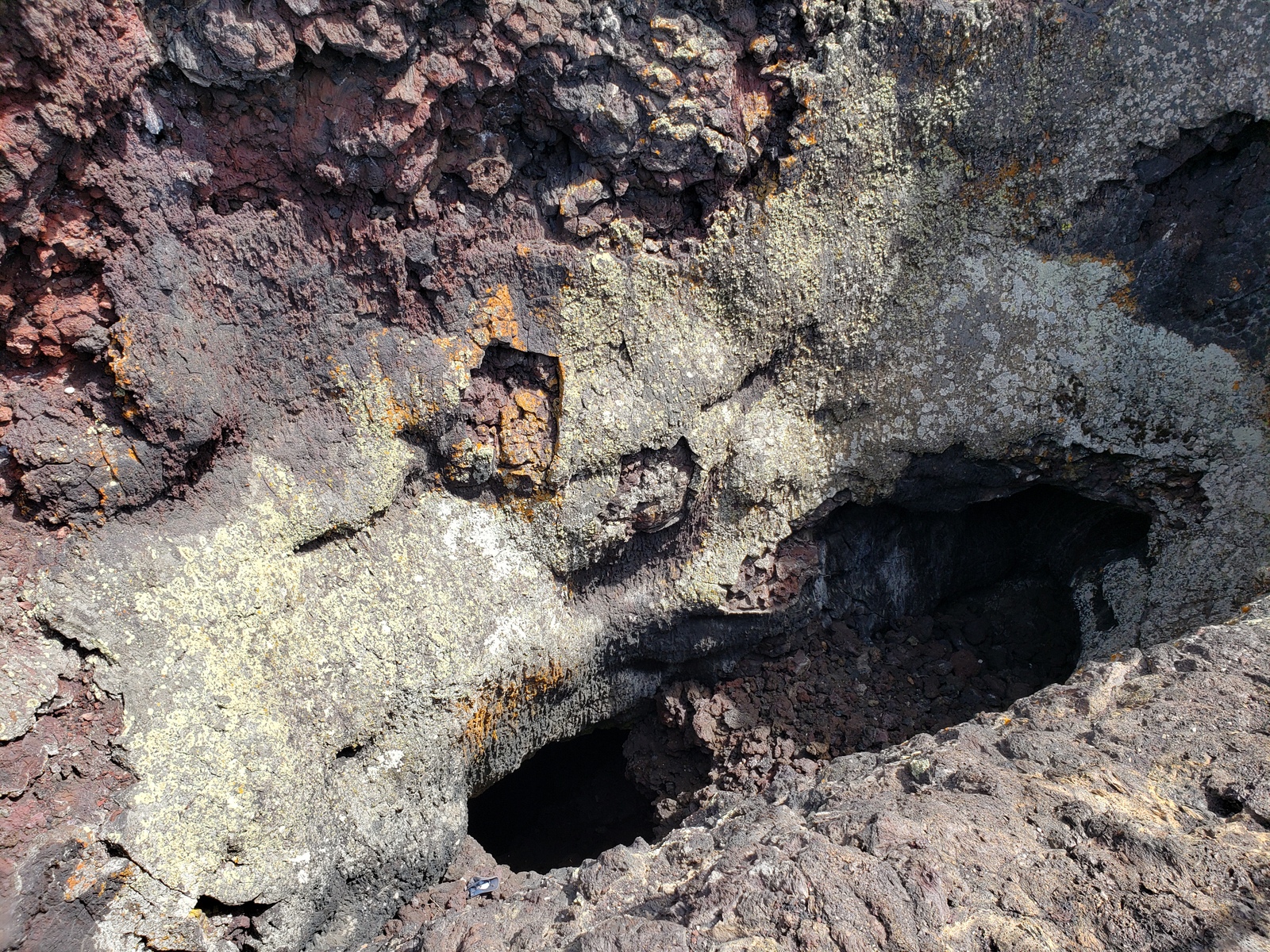
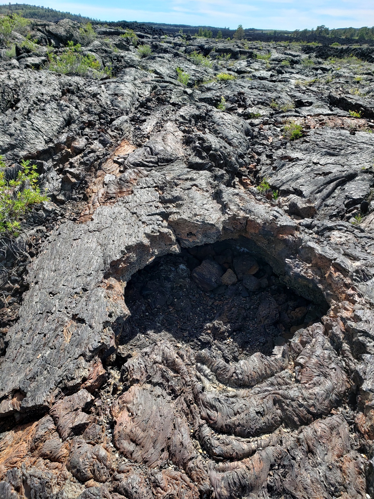
After a half-mile trek across the lava fields, the Dewdrop Cave sits right at the path splits. A very small cave, quickly accessed over some slippery rocks, it is refreshingly cool inside, a welcome break after a warm walk.
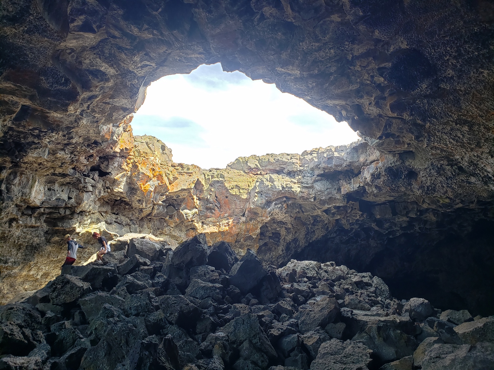
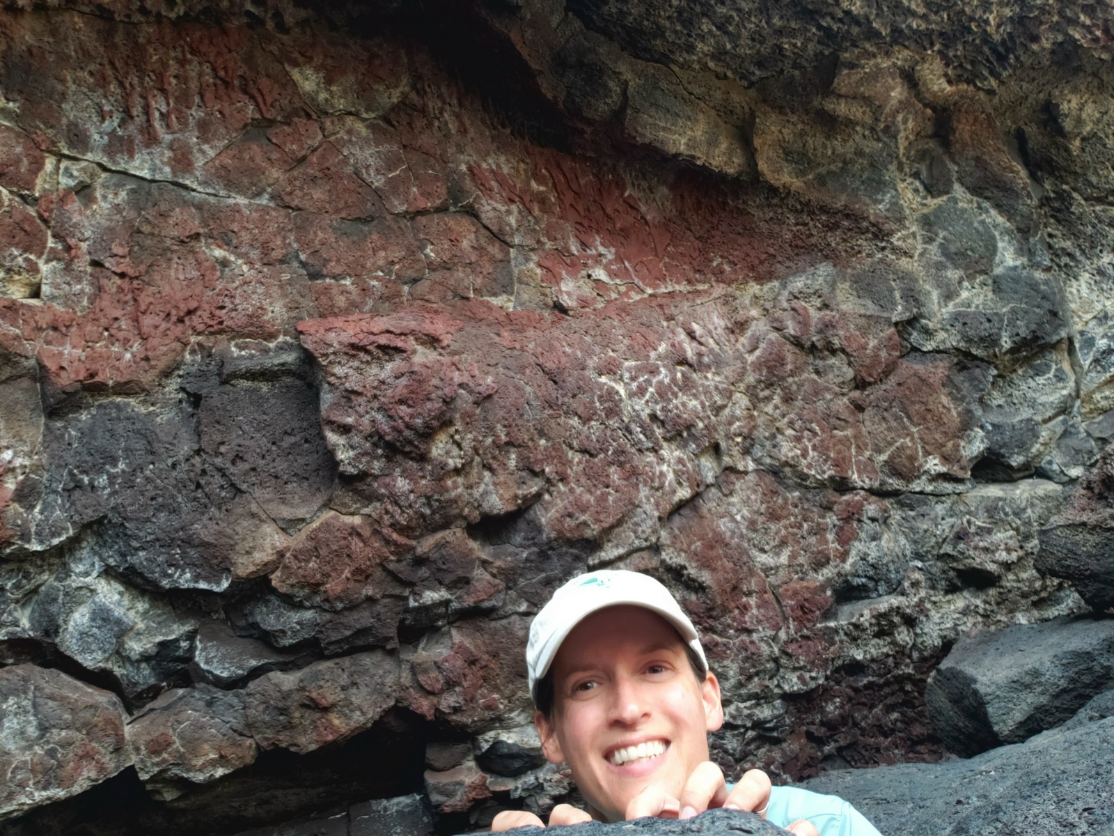
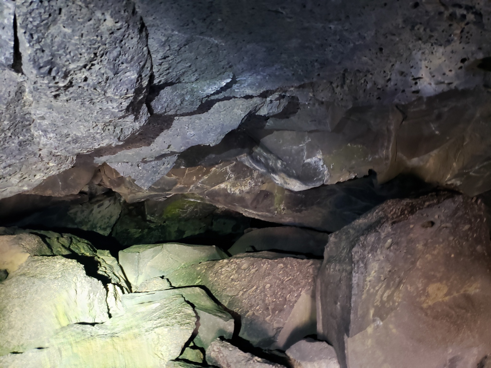
From there, I head towards the Indian Tunnel first, passing collapsed lava tubes … a lava tube’s destiny! Lava rivers become lava tubes when the exterior of the flow cools allowing hot, fluid lava to continue to flow beneath the surface. The flow can continue for many miles, until the source of the lava gets cut off leaving behind a “cave”. In this area, the lava flow travelled a total distance of 18 miles when it flowed from its source at the Spatter Cones approx. 2K years ago. The Indian Tunnel is large – with easy stairway access and collapses in the ceiling providing light for much of the cave and along the 800-foot path to its end. It is named for the stone rings that lie near the path to this large lava tube. The Shoshone, and other tribes, left behind stone structures such as these at various locations throughout the Monument. Archeologists believe that some of these ancient stone structures may have had ceremonial significance for native people but their precise function remains a mystery.
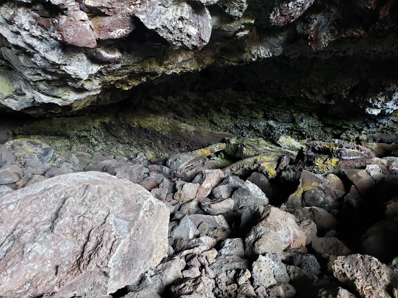
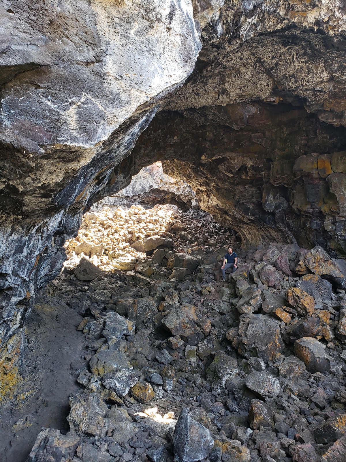
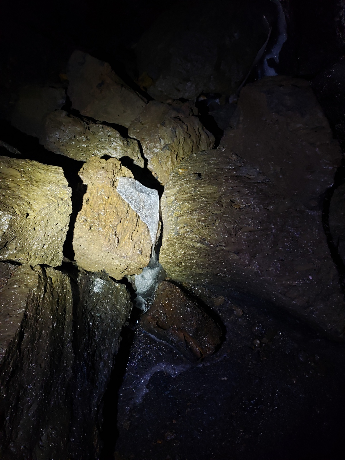
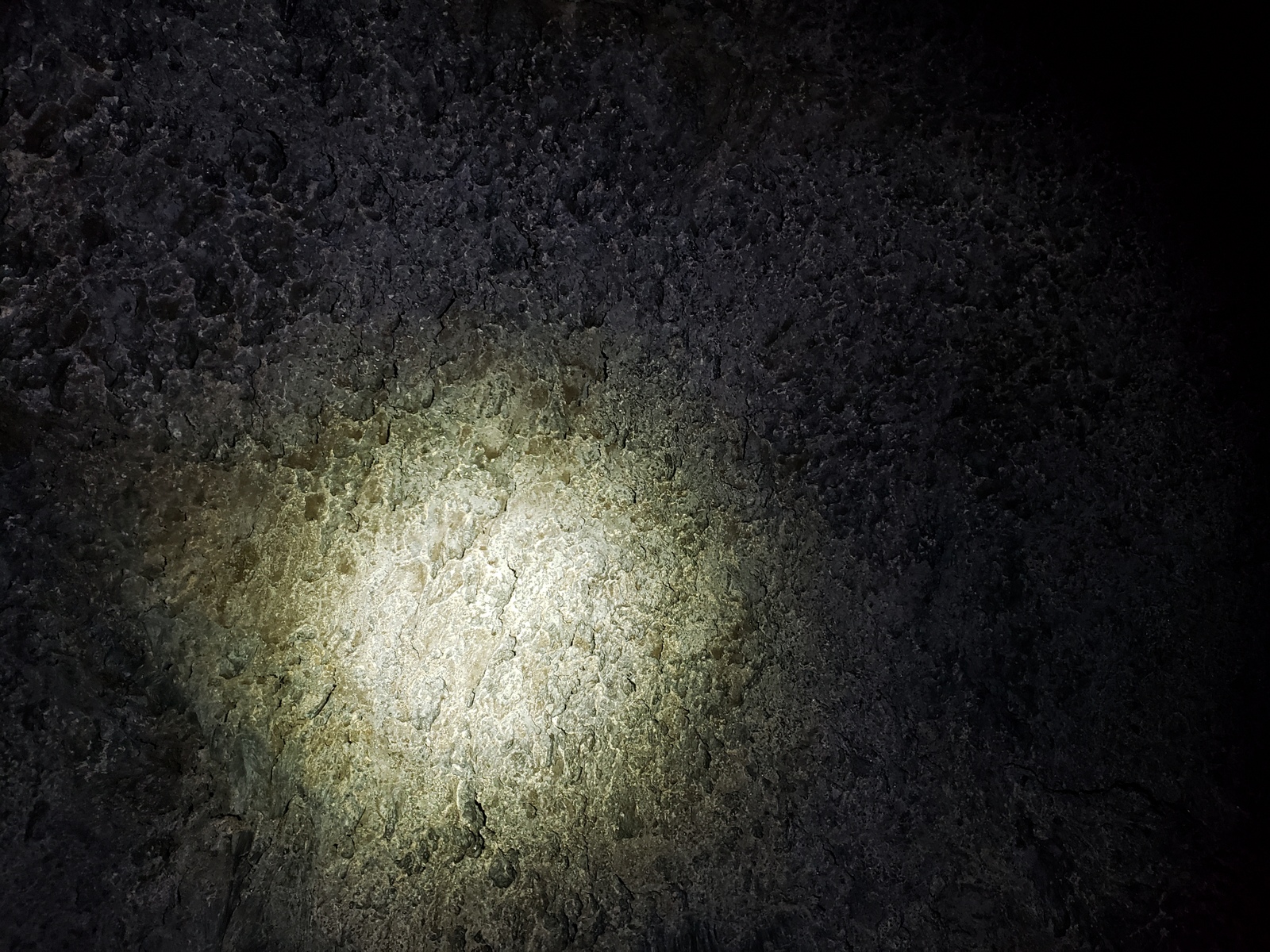
Back to where the trail had split, to explore the remaining two caves – with the furthest one, Beauty Cave – first. After entering through a large opening and scrambling down a slope of large rocks, one reaches the smooth floor of this 300-foot tunnel. The cave glistens from dripping water, icy patches on the floor and what looks like small stalactites (but really are lava droplets aka “lavacicles”).
Final cave of the day is the Boy Scouts Cave, back down the trail a bit. This cave retains ice year-round, and to access it one must crawl over loose rock to enter, due to the very low ceiling at the entrance. A glace past the entry area is enough for me, after all the walking and crawling already done today.
Day 32 (Tuesday, June 01, 2021)
Not only are we well into our 5th week of travels, but also officially into our 2nd month today! This calls for another day of relaxing and not doing much while we enjoy the warm weather at Craters of the Moon, planning where our next leg will take us tomorrow!


Leave a Reply