Day 33 (Wednesday, June 02, 2021)
Leaving Craters of the Moon behind, we decide to stretch out our drive home a little – and avoid Interstate 80 altogether this time. Instead, we head north, into the Sawtooth National Forest and NRA. Slowly but surely the landscape around us changes – from lava beds to hillsides and then to mountains.
Passing the Sun Valley ski area, we come through the town of Ketchum. Ernest Hemingway, the Nobel Prize-winning author, first came to Idaho in 1939 and became the state’s most famous resident, completed “For Whom The Bell Tolls”, was a passionate fly fisher and spent the last years of his life here. He died in 1961 and is buried in the town’s cemetery, alongside his wife.
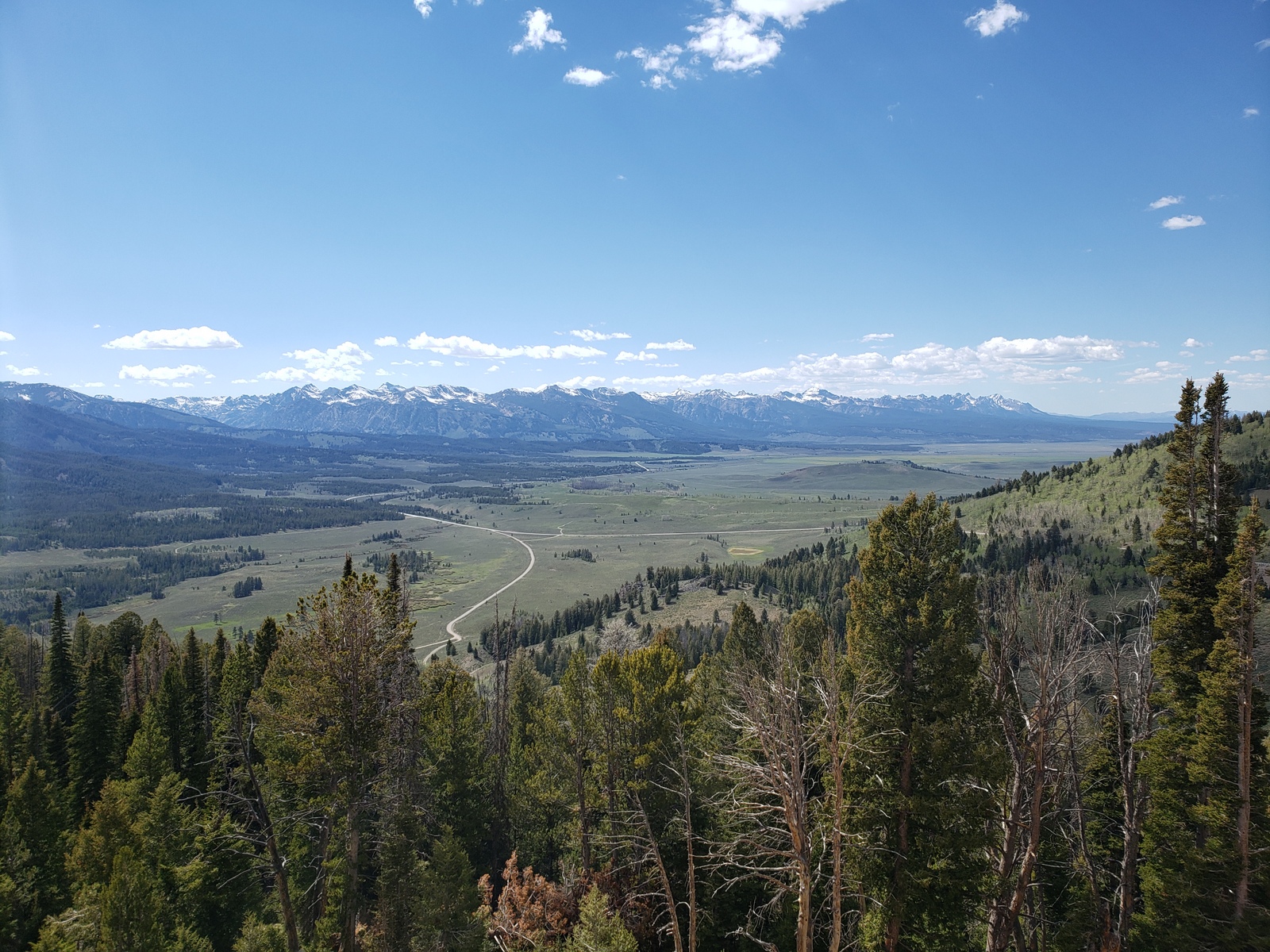
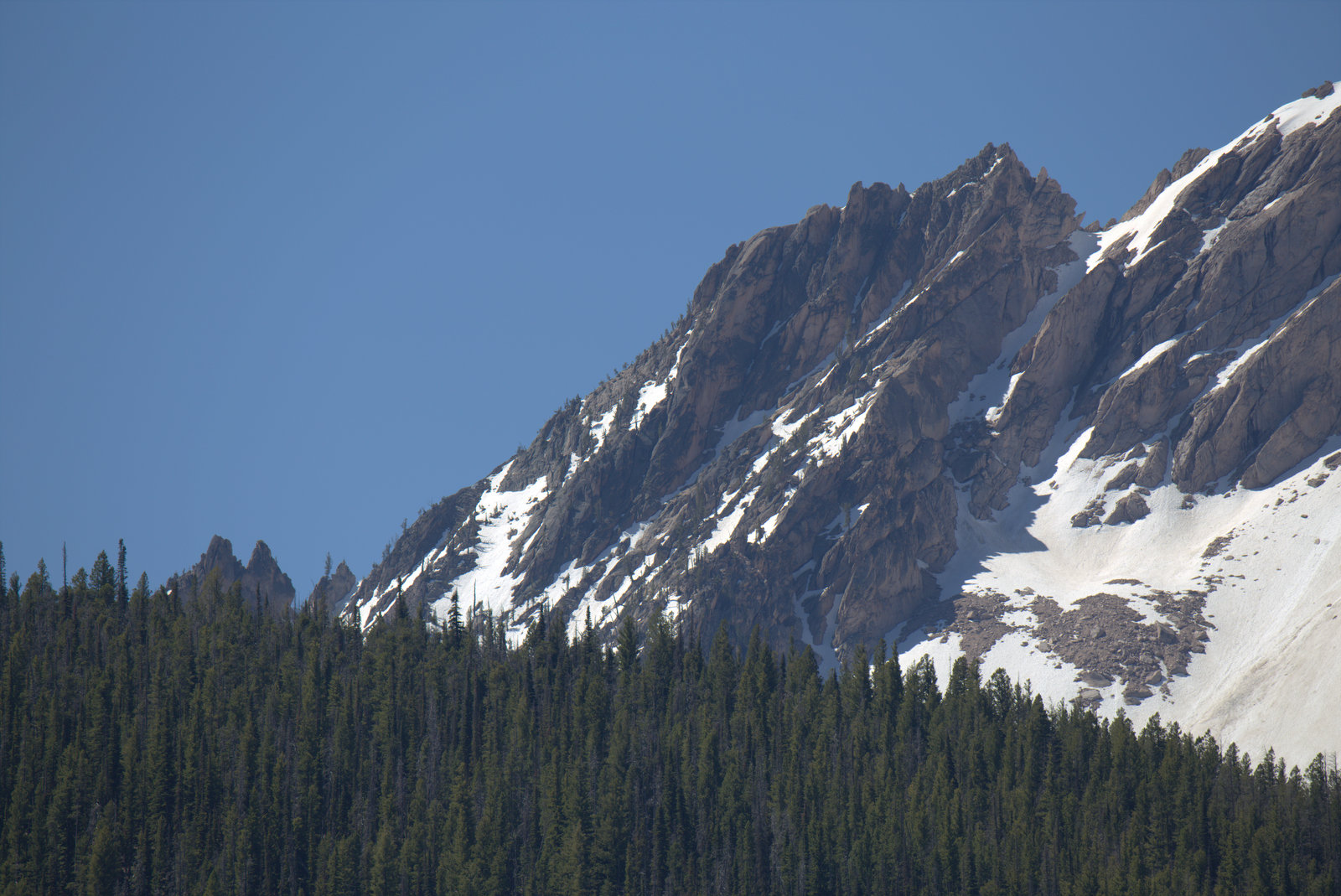
We head on towards Galena Peak, cresting at 8,701 feet elevation, from where we have a spectacular view of the Sawtooth Mountains. Once you see them, you know where the name comes from. No other name would fit for these glacially carved mountains. Rolling down the hill, we follow the Salmon River, which is home to chinook salmon, steelhead, brook and bull trout, as part of its 900-mile journey to the Pacific Ocean.
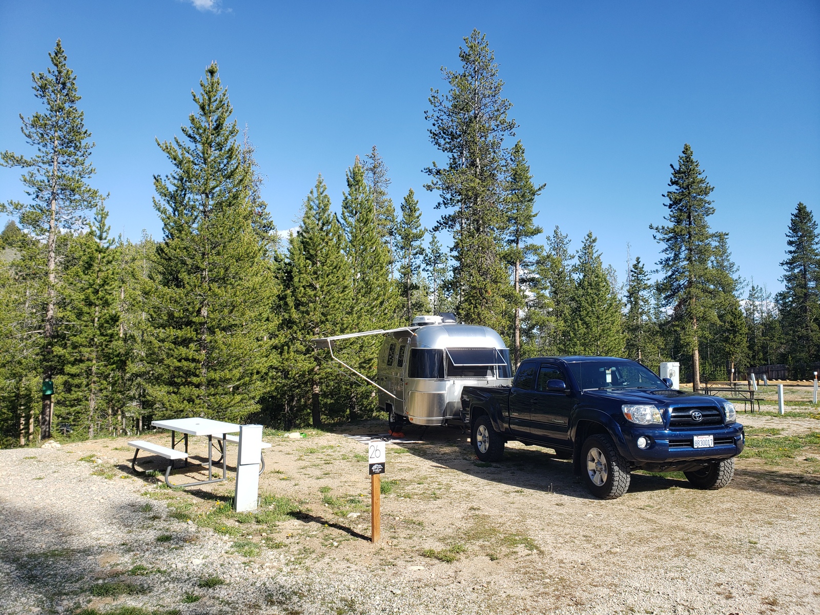
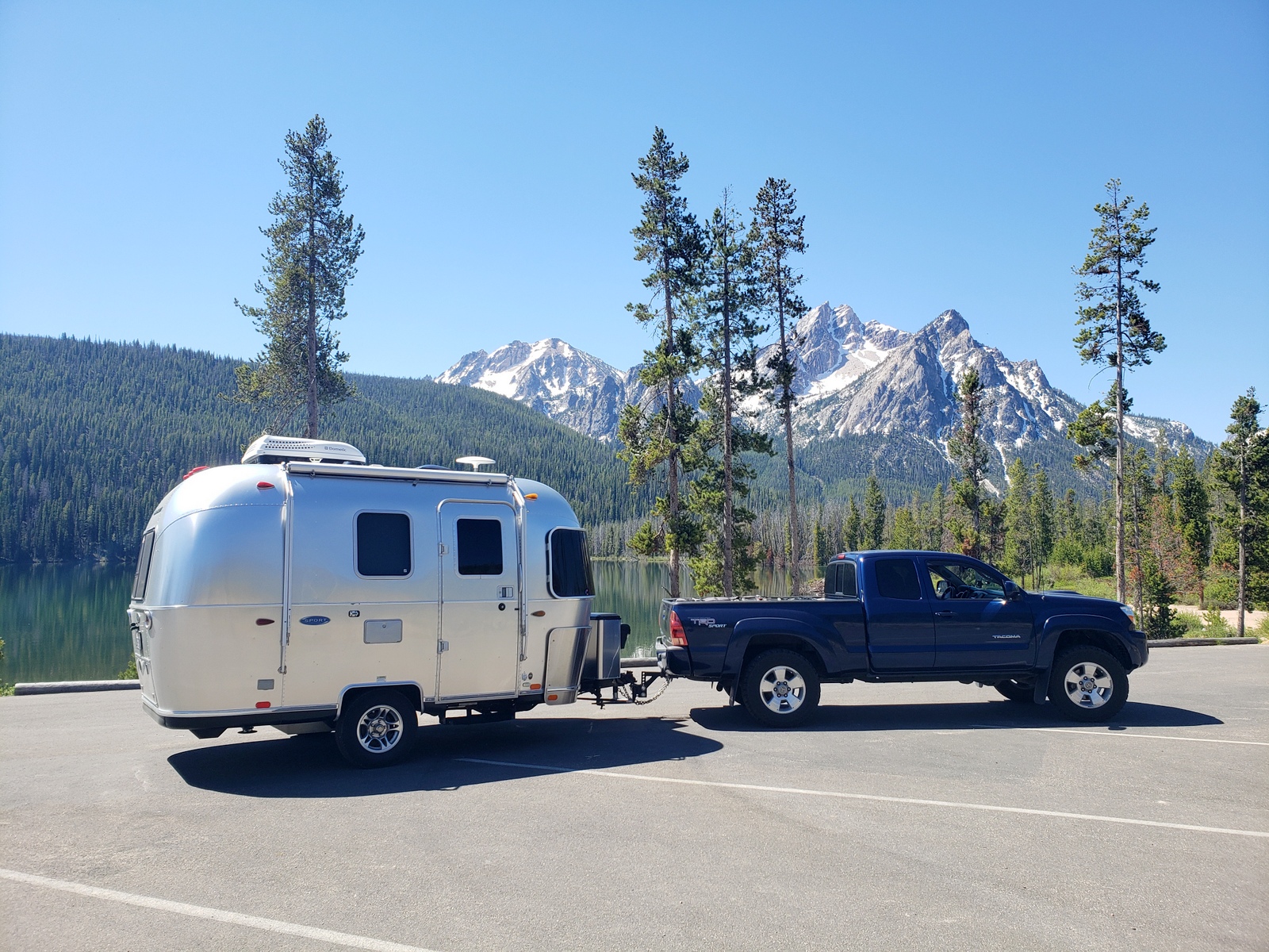
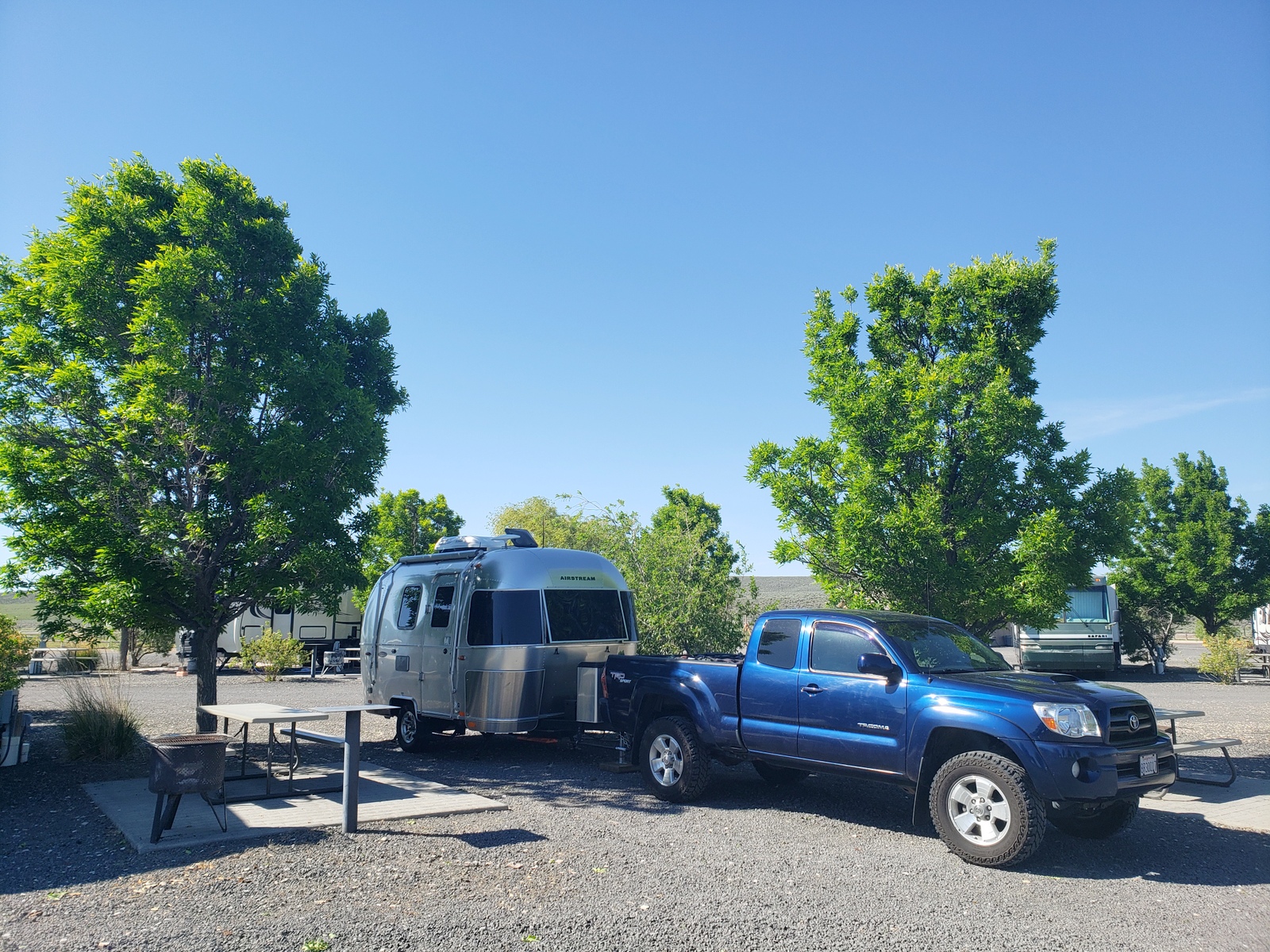
Once we reach the town of Stanley, Gateway to the Sawtooth Wilderness, we turn west onto Hwy 21, to reach our stop for the night just outside of town – at Stanley RV & Camp, site #26 FHU.
Day 34 (Thursday, June 03, 2021)
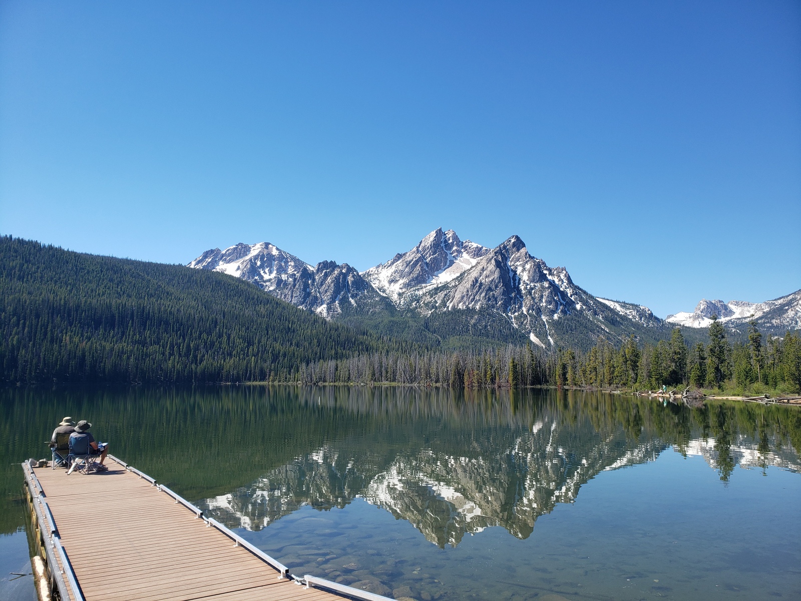
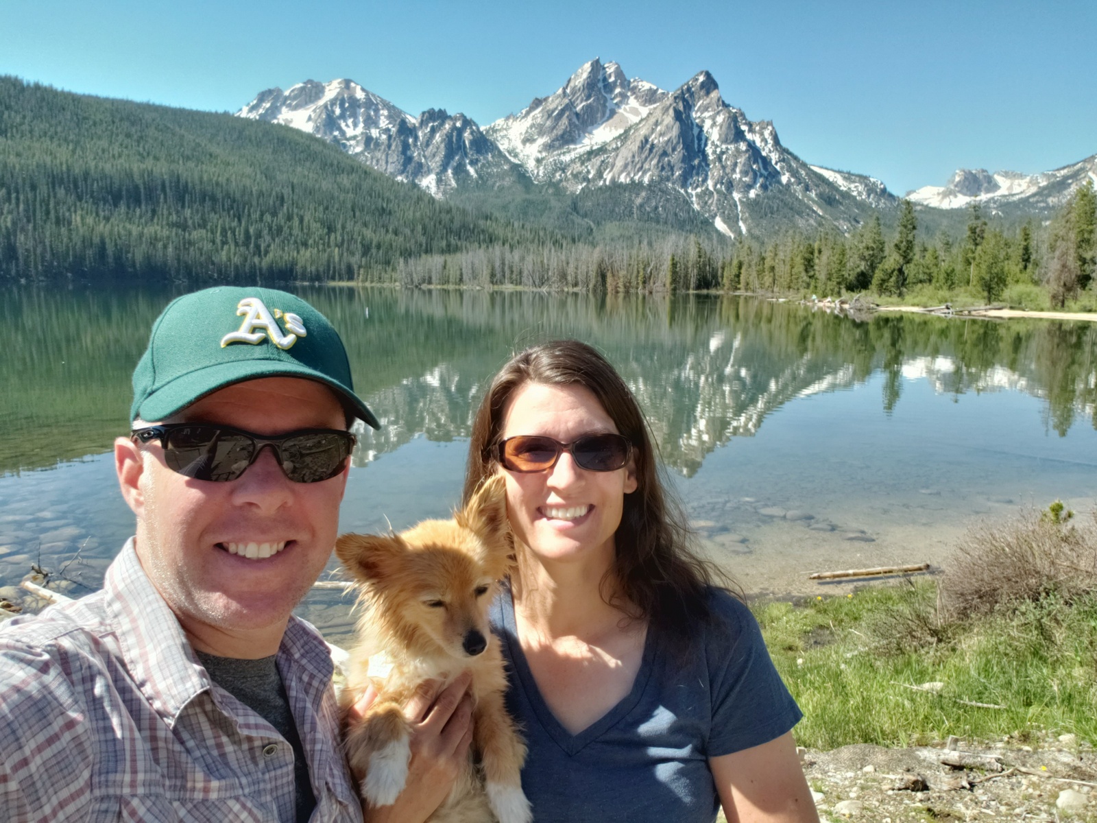
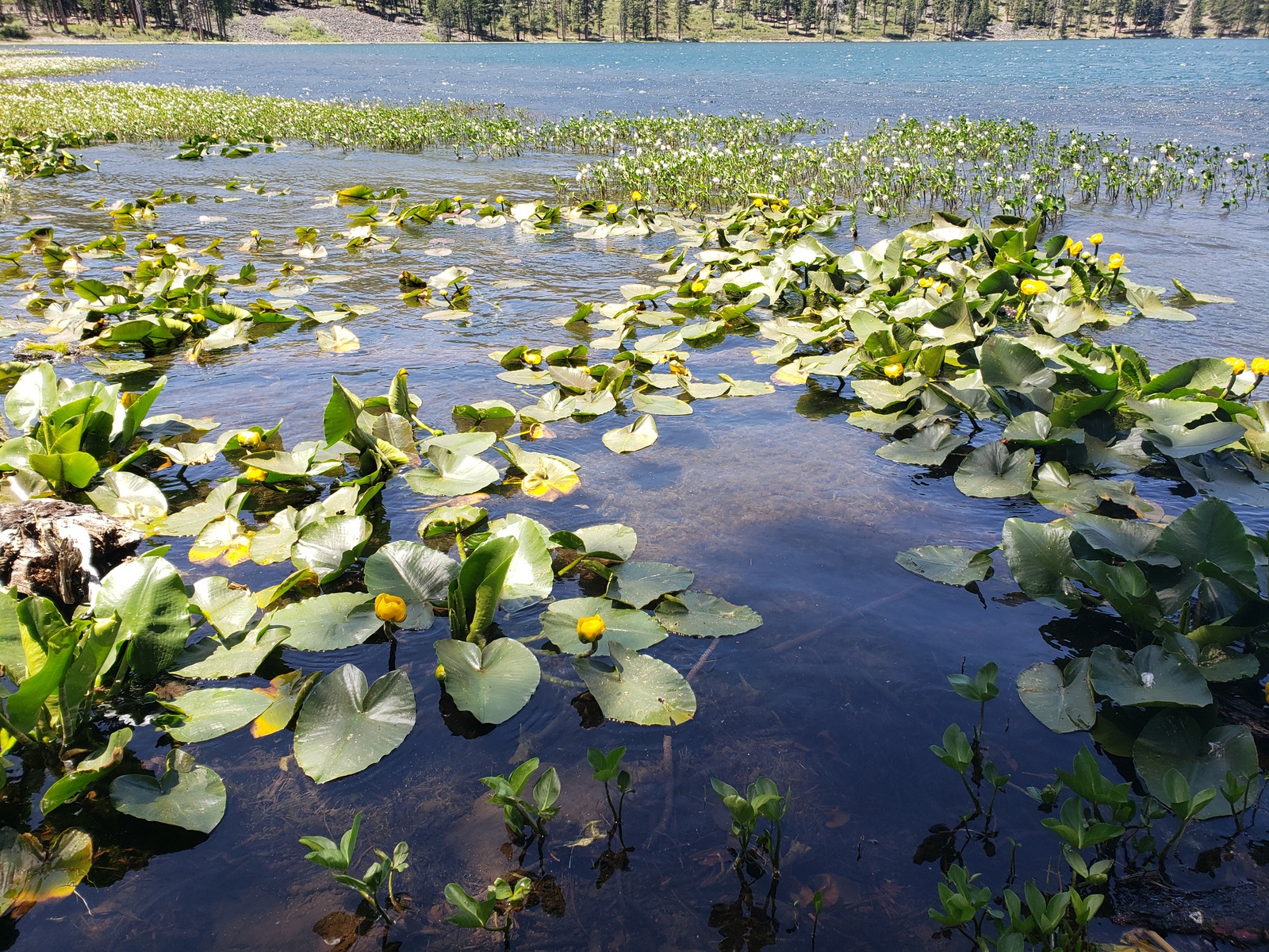
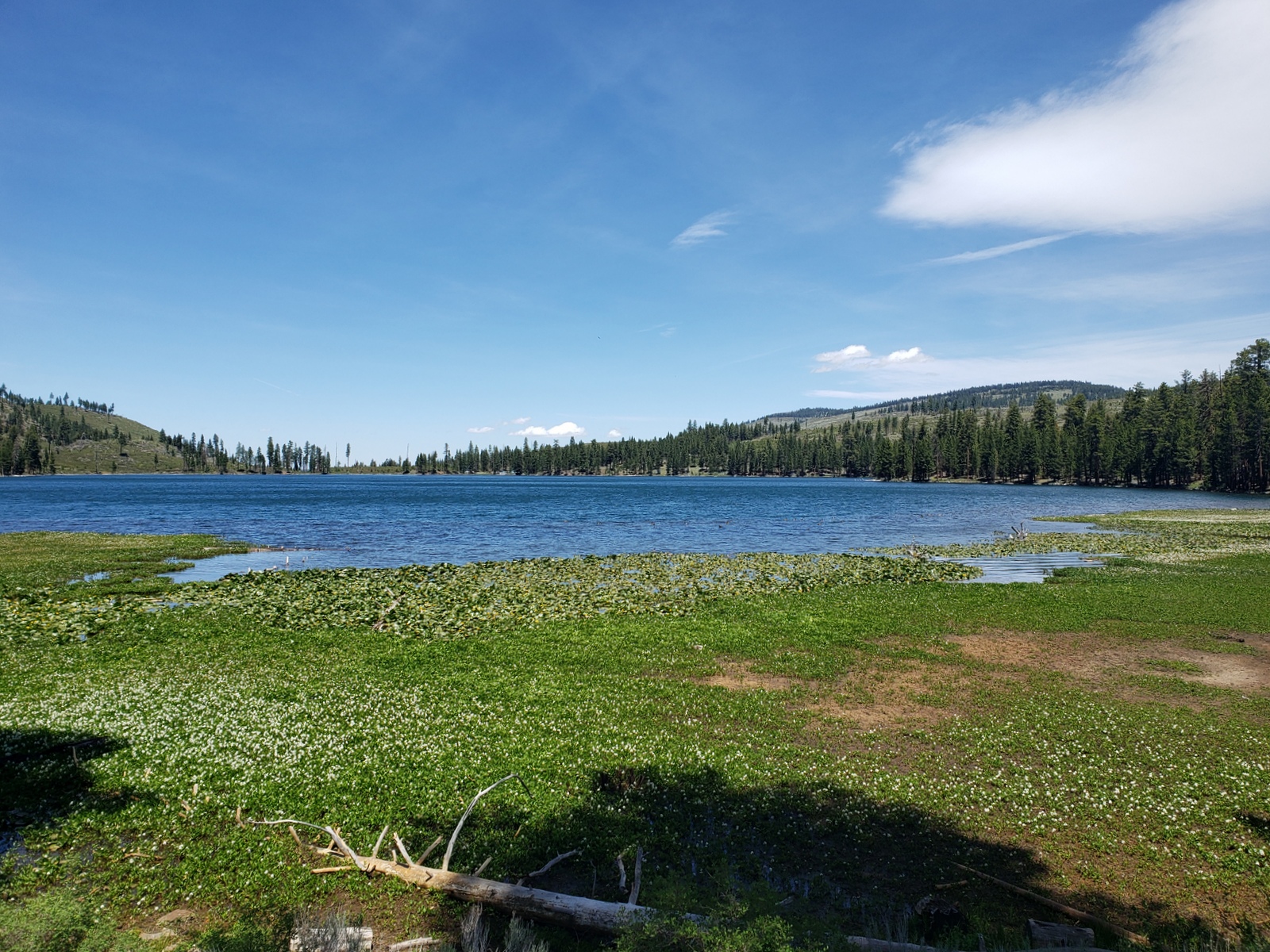
Another lesson in “it’s a small world!” was learned when we find out that our site neighbors are from Santa Rosa, CA – but moved to Idaho 3 years ago. They share the scoop on what not to miss before leaving the area, and so take a detour just a mile after leaving the campground this morning – to swing by Stanley Lake. Bypassing the many forest campgrounds on our way to the boat ramp and picnic area, we quickly make it to the lake shore. Not only is it a beautiful lake, but the tall McGown Peak and surrounding Sawtooth Mountains as the backdrop make this a must-see. What’s the trade-off? Relentlessly aggressive, undeterred, blood-sucking, hungry mosquitos. Bite-you-through-your-shirt kinds of buggers! About 35 bites (not exaggerating here!) on my upper back and back of my upper arms plus a couple on my legs in about 15 minutes – must be a new record, even for me. Kirk, who sat across from me while we’d been having a quick snack on the shore, gets away with zero (!) bites from here. So, while half an hour ago we were determined we’d have to come back here to camp, this place has now been blacklisted for me. (Portable mosquito tents to carry around all day don’t scream “vacation” to me).
Anyways … on we go on our scenic route, following the Ponderosa Pine Scenic Route (or Hwy 21) west towards Boise, ID. This byway winds through the Boise National Forest, passing through dense forests of pine, across high mountain valleys, and along portions of the Boise River, Lucky Peak Lake, and the South Fork of the Payette River. While certainly a time-consuming path chosen, it offers spectacular views away from traffic and people.
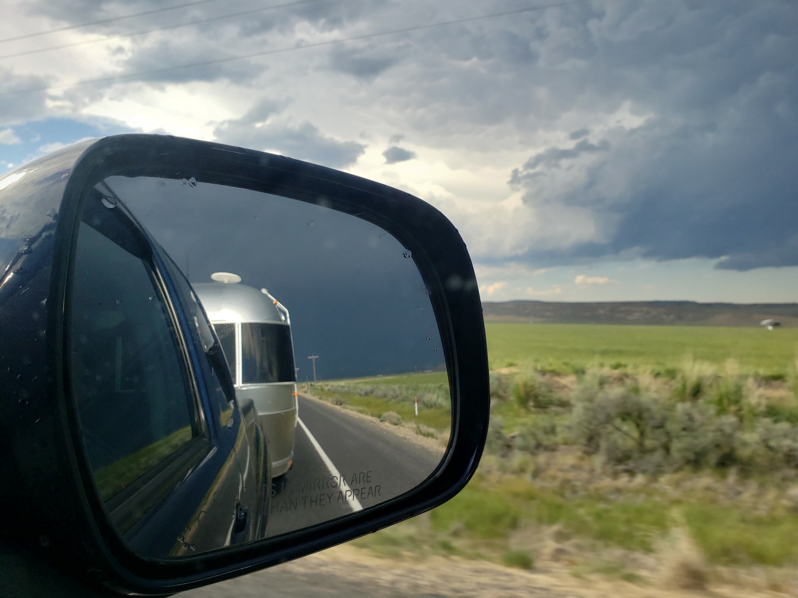
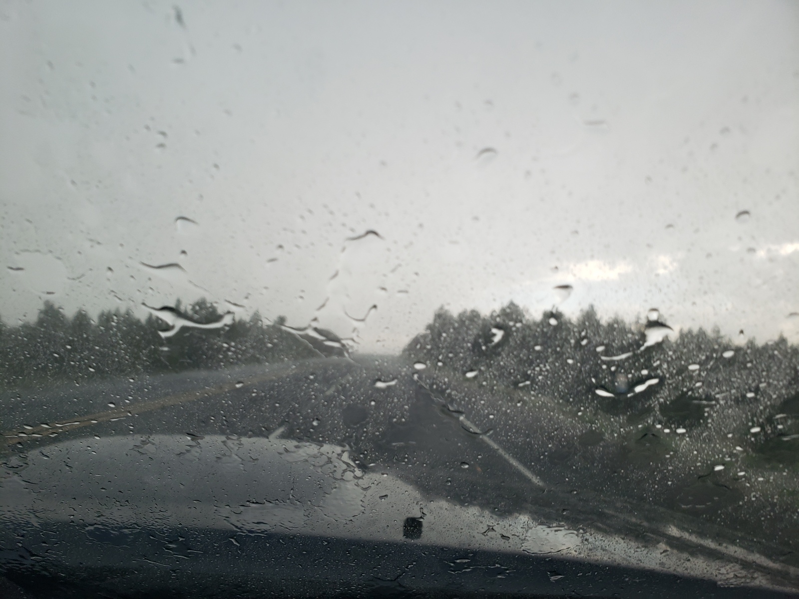
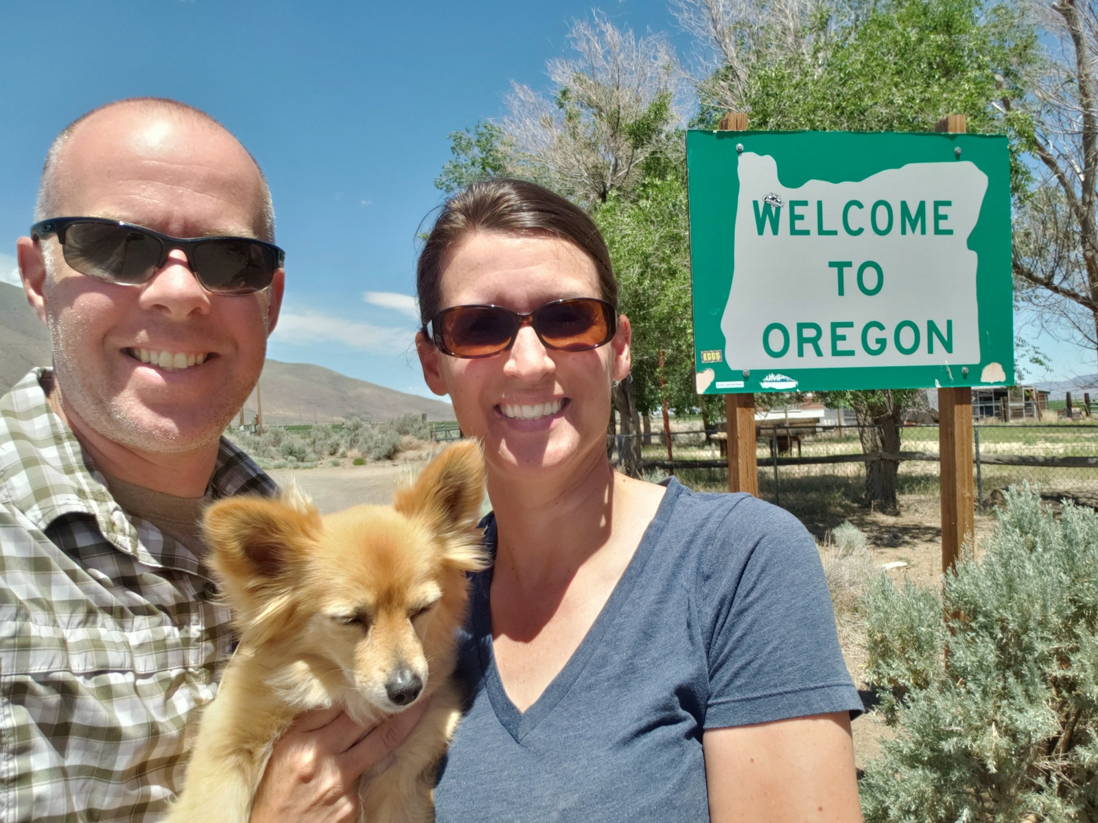
Once back to civilization (aka in Boise), we take the freeway (I-84) to just across the state line into Oregon. Near Ontario, we pick up Hwy 20 which will take us along the Malheur River all the way to Burns, OR. Along the way, we cross through a quick, but extremely heavy downpour with lighting and thunder putting on quite a show! Raindrops big enough to sound like hail on the truck have us fear of dents in the aluminum shell of our trailer, but it was just a heavy cycle washing!
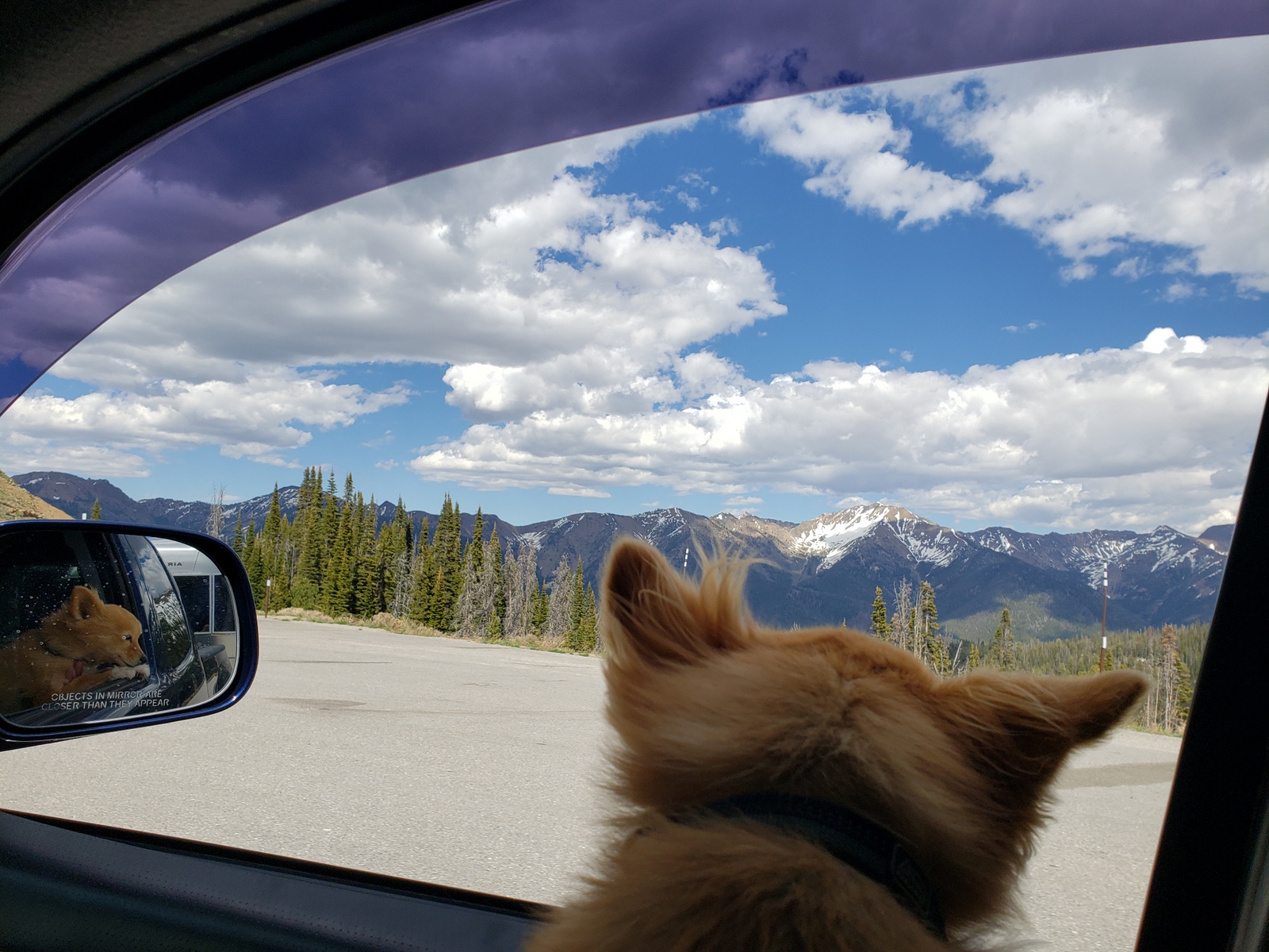
From Burns we he head south on Hwy 205, Oregon’s High Desert Discovery Scenic Byway. It’s almost dusk, and wildlife is out as we drive the last half hour of the day towards our campsite at The Narrows. One will not make it tonight … a little chipmunk races in front of the truck, stops, looks at us and *crunch* is gone. He’ll be remembered forever!
Day 35 (Friday, June 04, 2021)
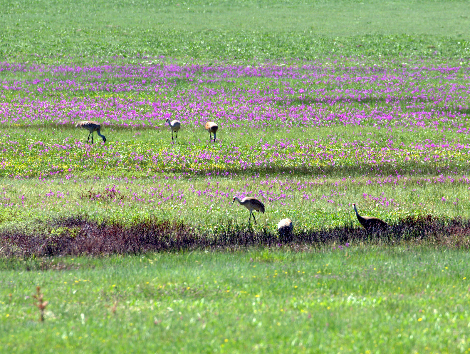
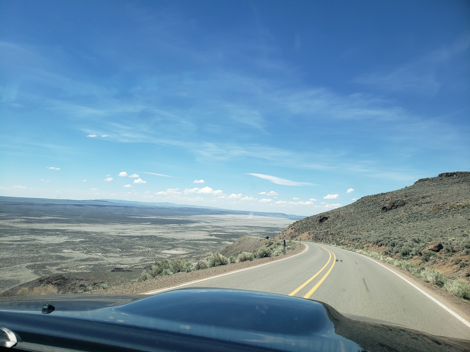
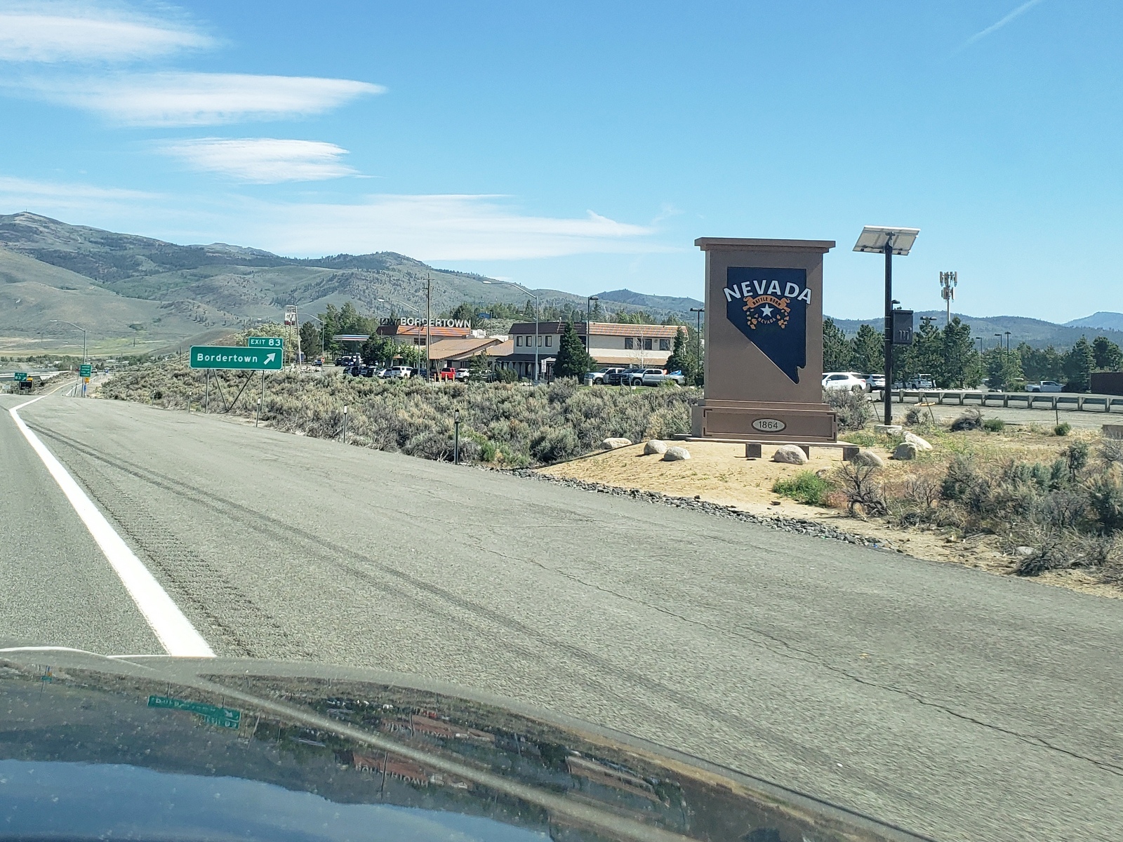
The High Desert Discovery Scenic Byway provides views across an unbroken horizon, dazzling stars and geologic drama. From desert to mountain, this is Oregon’s frontier country. The density of this part of the state is less than 1 person per square mile, on par with Alaska. Our day starts at the edge of the Malheur National Wildlife Refuge, an oasis of wetlands and lakes that suddenly appear amid stark mesas and dry grassland. Despite it being still spring, the Malheur, Mud and Harney marshes and meadows are seemingly dry as we pass by. We may already be too late for the migratory rest stop on the Pacific Flyway. We skip the scenic loop tours into the Jackass Mountains (real name, but we have the trailer in tow), as we head south towards and through the historic community of Frenchglen and past the Donner and Blitzen River as we also pass on the Steens Mountain Wilderness detour, another gravel route. Shortly after passing through the town of Fields, OR we cross the border into Nevada. After getting gas at the tiny station in Denio Junction, NV (yes, you certainly have to plan out our gas stops in this part of the world!), we head west Hwy 140, stop at the road construction while waiting fo the pilot car to take us through, and return back into Oregon just before Adel, OR. After not much excitement along the high desert part of the route in Nevada, flora and fauna return as we cross through the canyons once in Oregon. Just past the tiny ski & recreation area of Warner Canyon, we reach Hwy 395, the Oregon Outback Scenic Byway, which will be our route for the next leg of the journey.
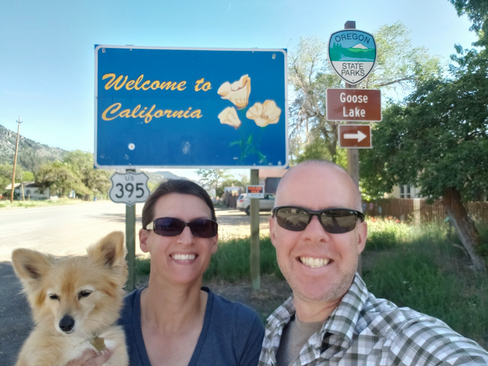
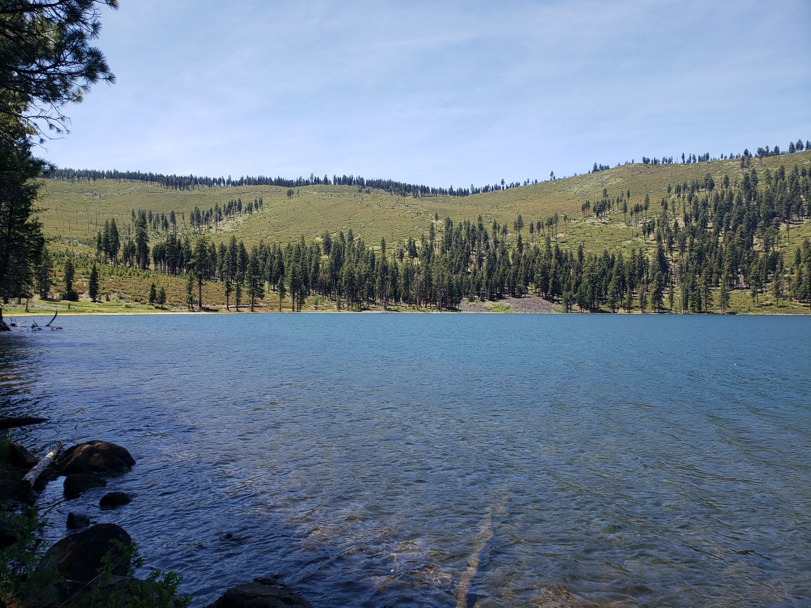
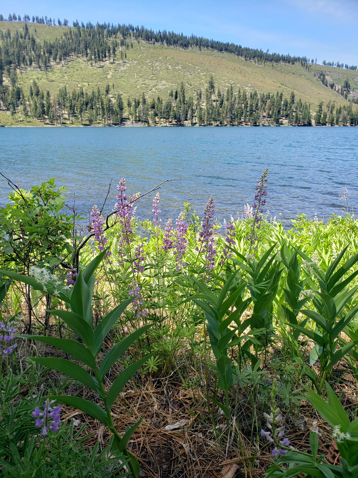
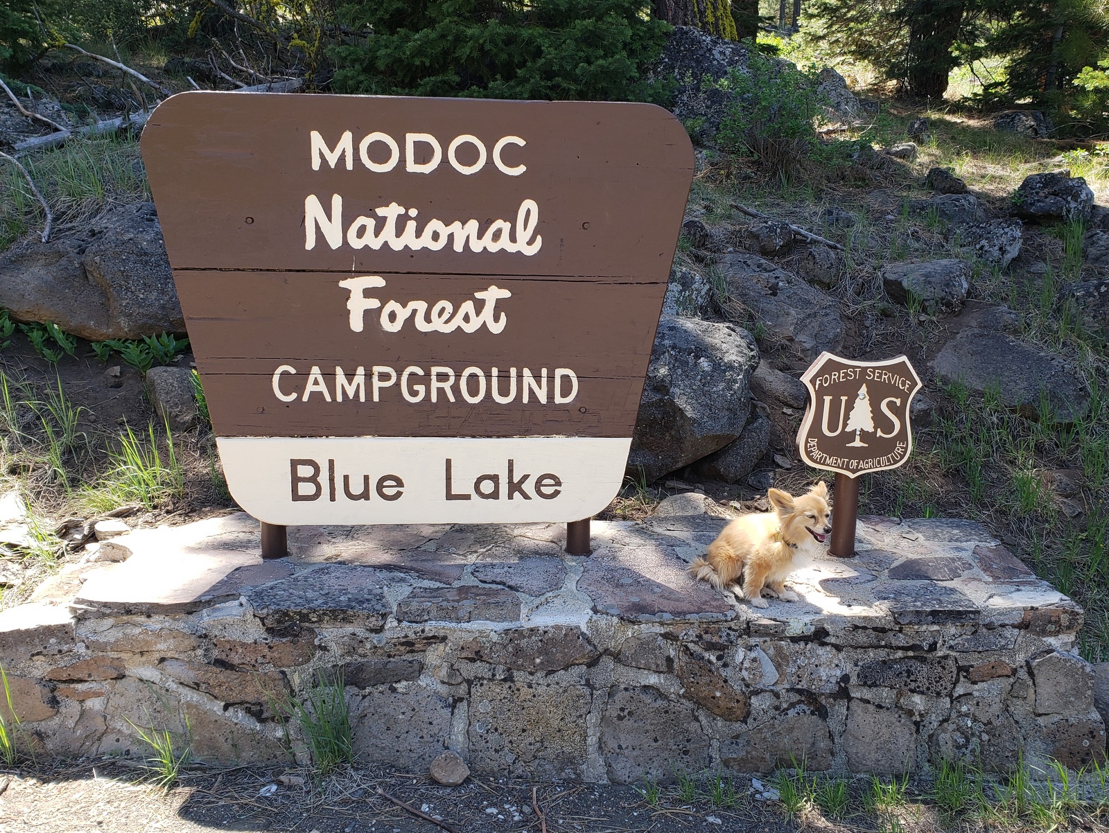
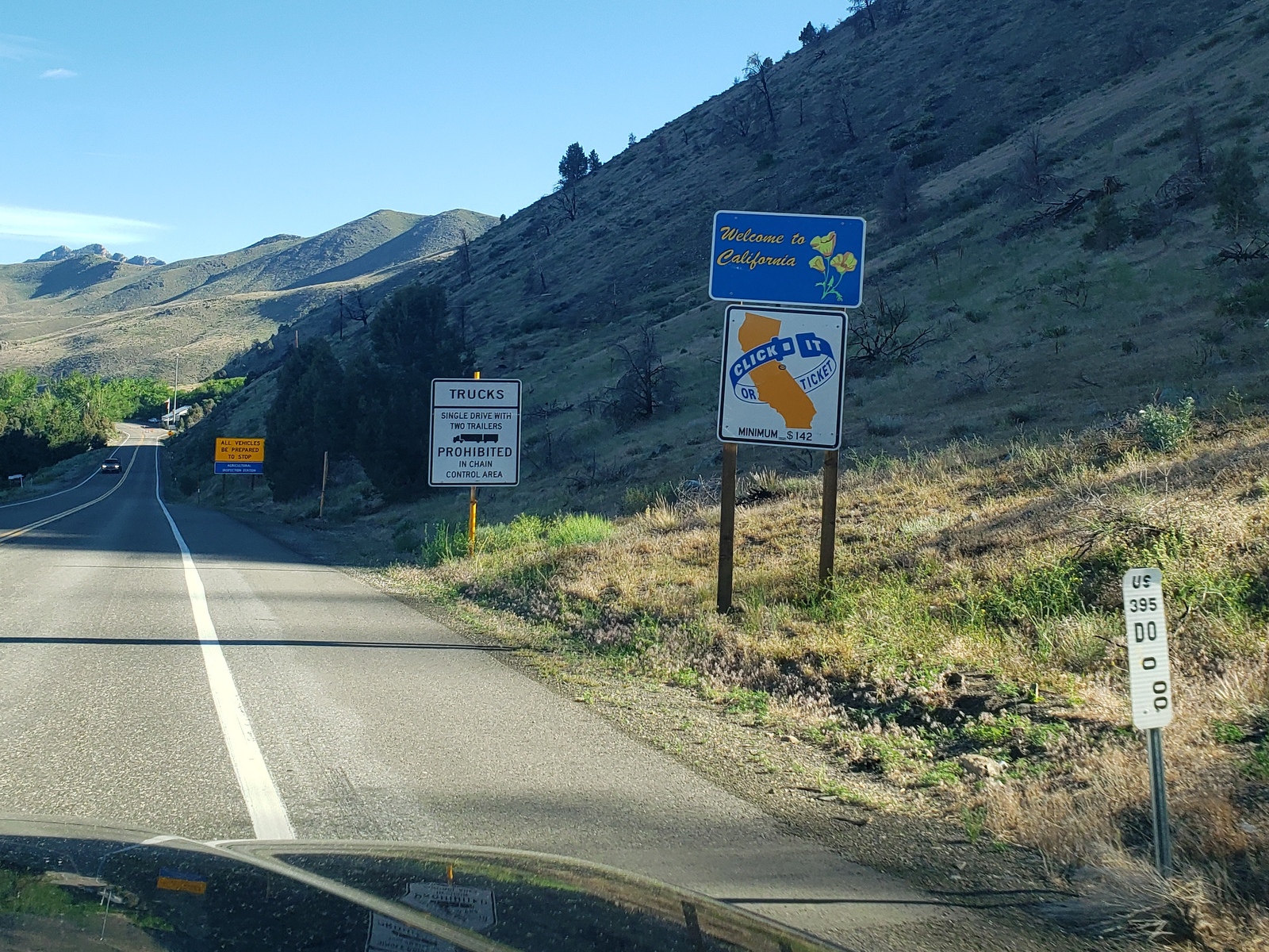
It feels like we’re close(r) to home when we cross the state border once again, this time into California! Taking a left turn in the town of Likely, CA, we head up into the Modoc National Forest on Warner Mountain to claim our site (#39) at the beautiful Blue Lake Campground.
Day 36 (Saturday, June 05, 2021)
Since it’s so pretty here and we are on this trip to relax, we stay for a 2nd night at Blue Lake, where the only activities planned are a walk around the lake and hanging out lazily at the site. While a sign along the lake trail reminds us to be cautious around burnt trees and areas, we can see the significant regrowth that has happened here since the Blue Fire in August 2001 (20 years!).
Day 37 (Sunday, June 06, 2021)
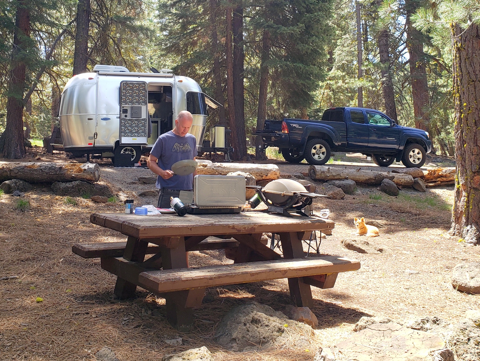
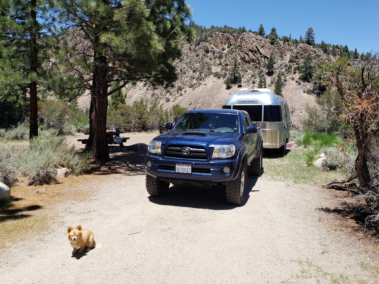
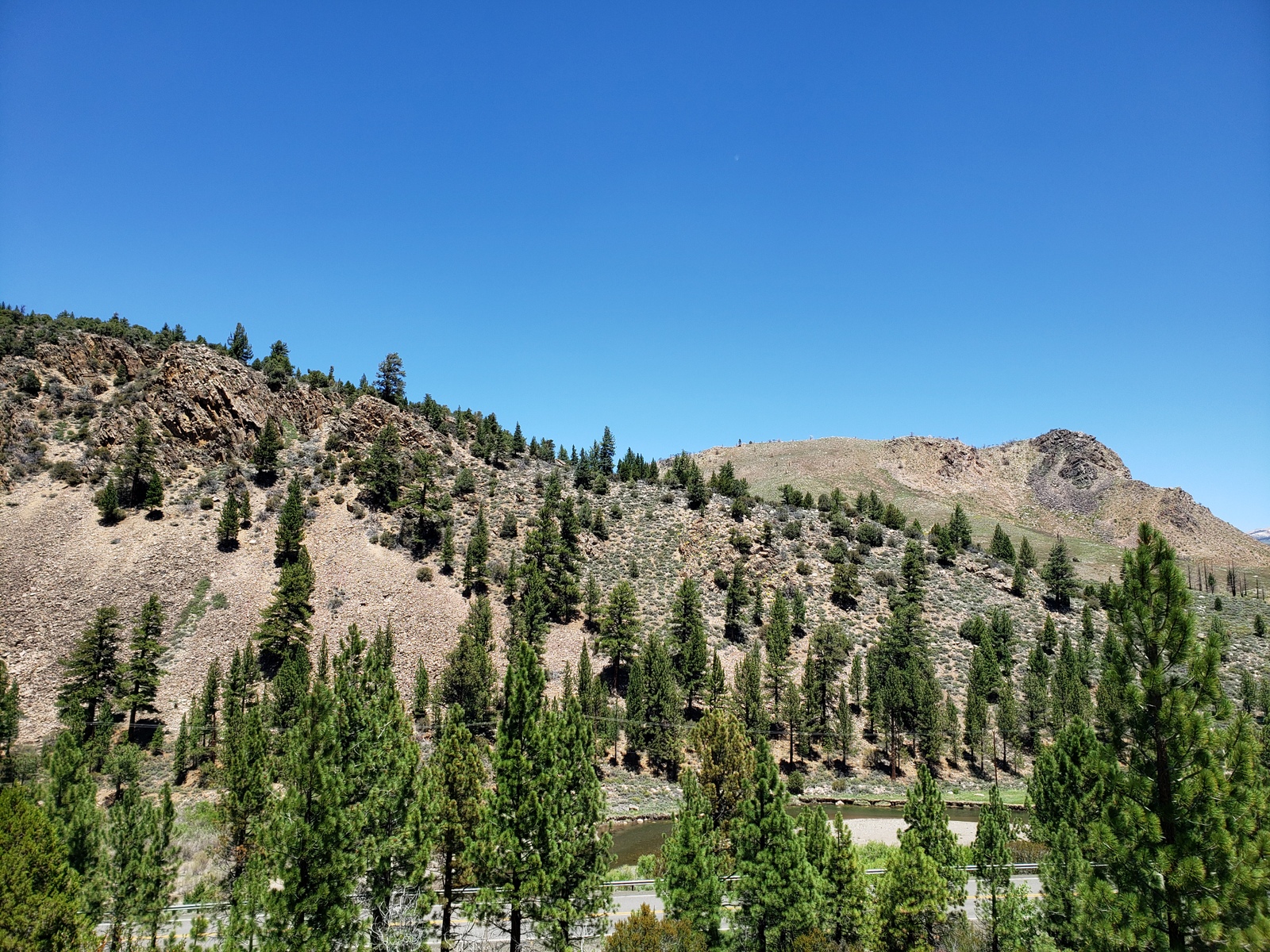
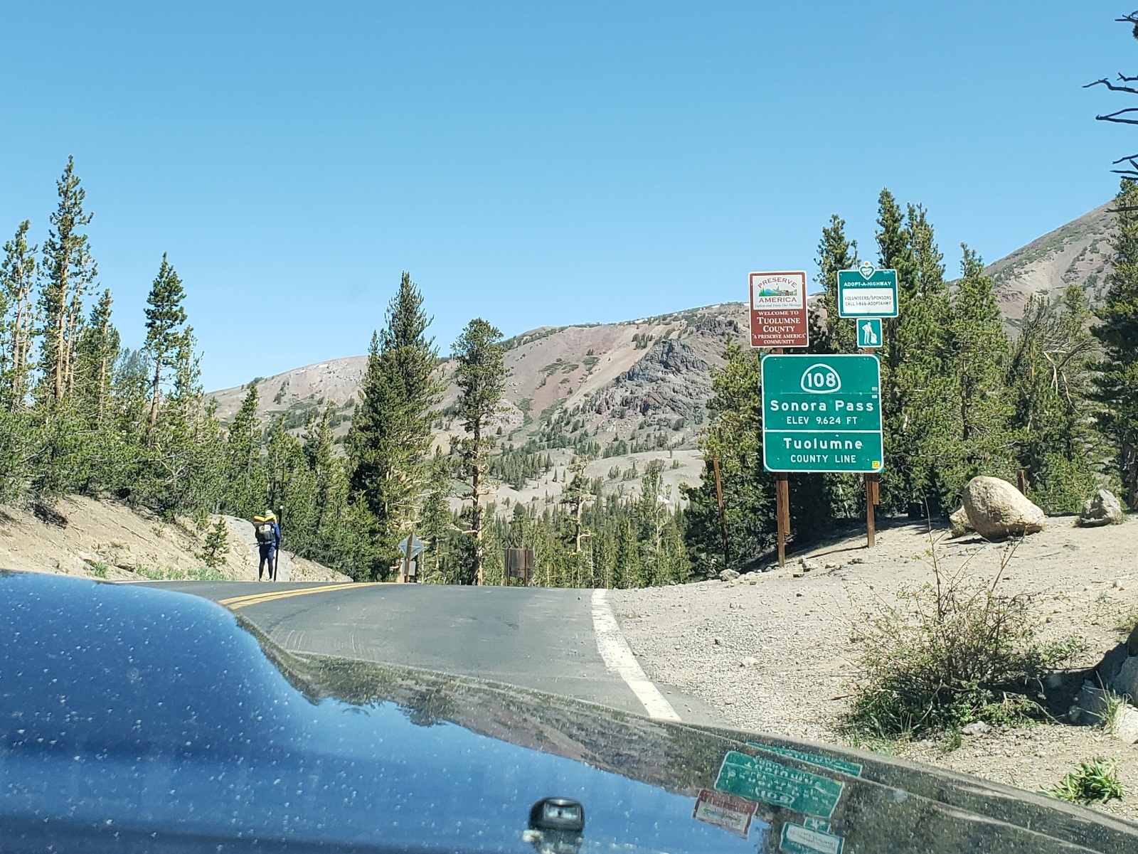
We’re officially in week 6 of out trip (technically that started Friday night already), and it’s time to move on to our last (but not least) part of the trip before really returning home. We turn back onto Hwy 395, heading south. After a few hours’ drive, we reach the state border again – going back into Nevada! From here, 395turns into a freeway, as we make our way through Reno (including a quick stop at the Peppermill Casino for Kirk to bet that his A’s will win the 2021 World Series) and Carson City, before returning to a two-lane road snaking its way well east of Lake Tahoe towards the California border. Once crossed back into CA, we continue on the Eastern Sierra Scenic Byway, along the West Walker River to Hwy 108 and the Sonora Junction Campground, where we settle in for our last stop (Site #2).
Day 38 (Monday, June 07, 2021)
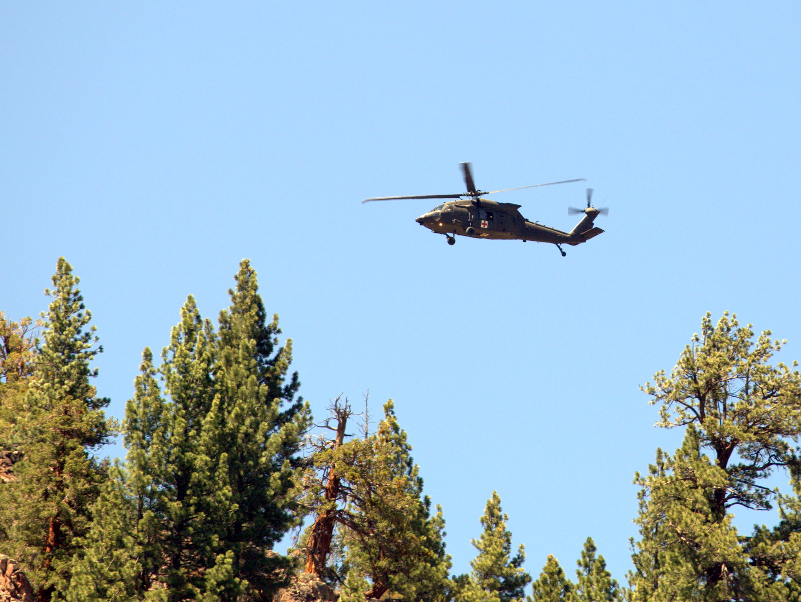
Only two more days away before we’ll be returning home, so we enjoy the sun (and not so much the wind gusts) while relaxing at our site at 6,800 ft elevation. Watching the Marine Corps helicopters whirl above us as recruits are being brought in to the USMC Mountain Warfare Training Center a few miles up Hwy 108 makes for an entertaining break in the lazy afternoon.
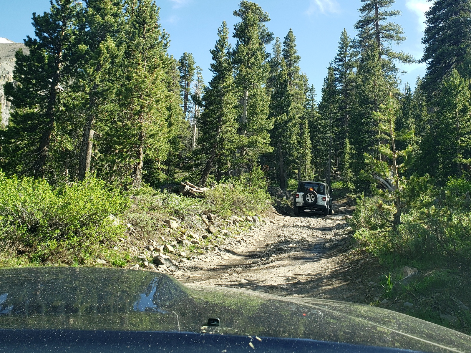
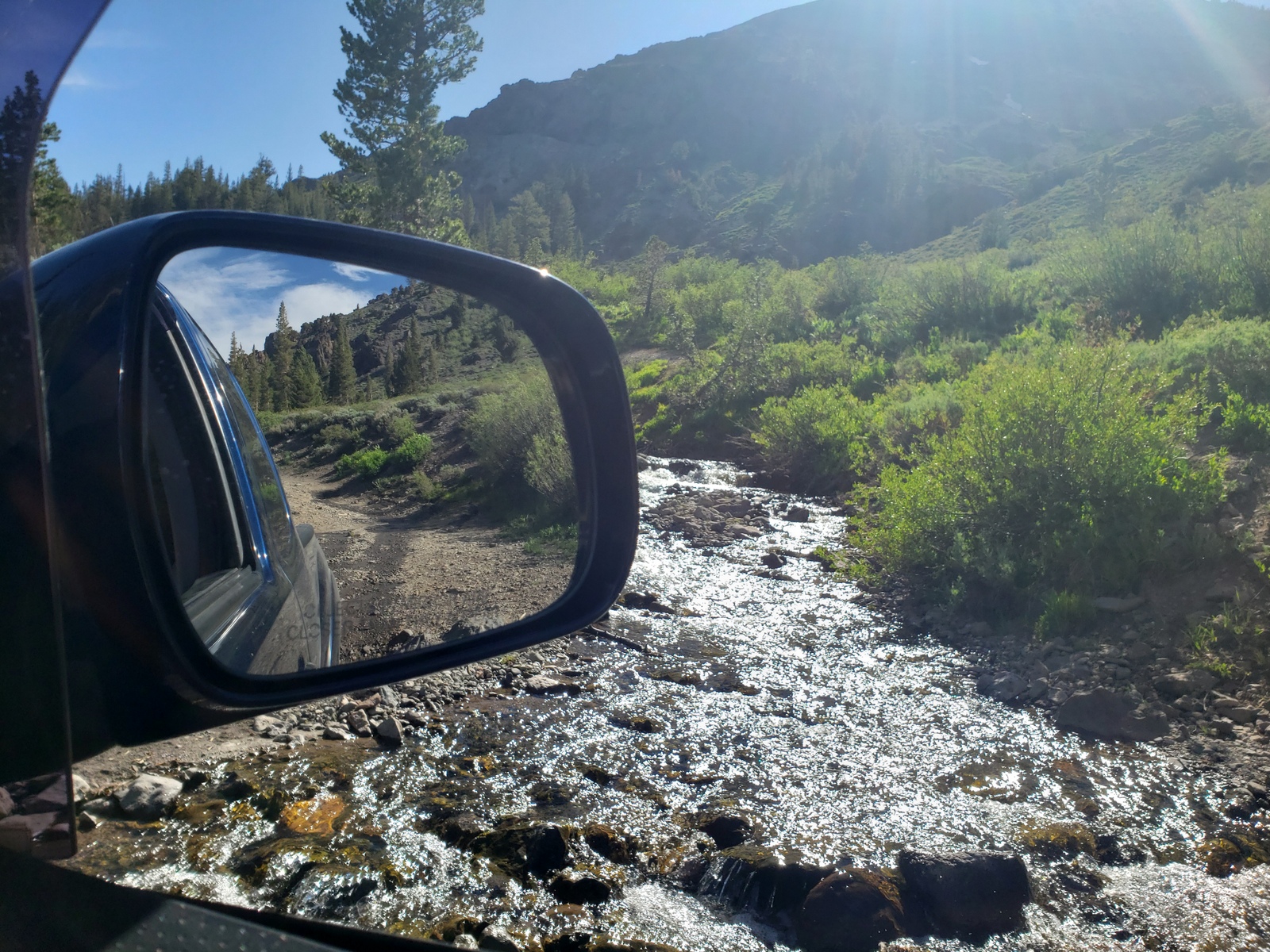
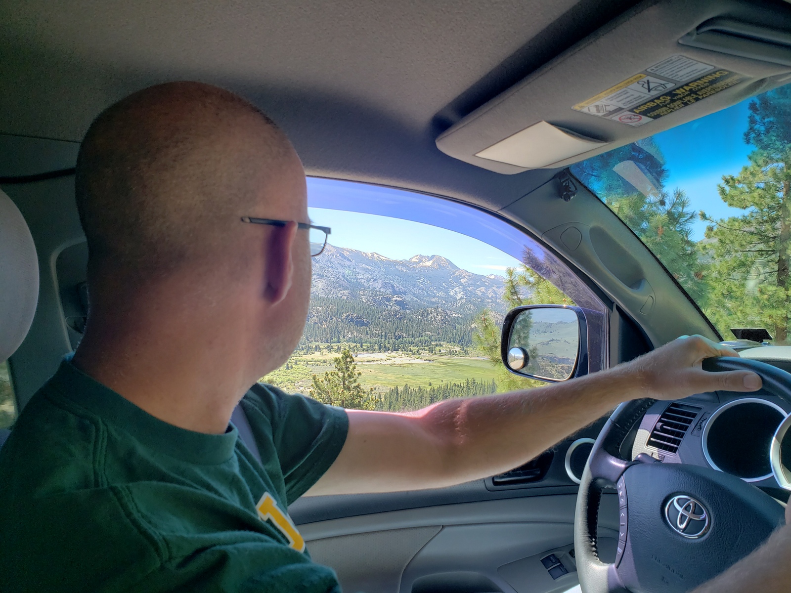
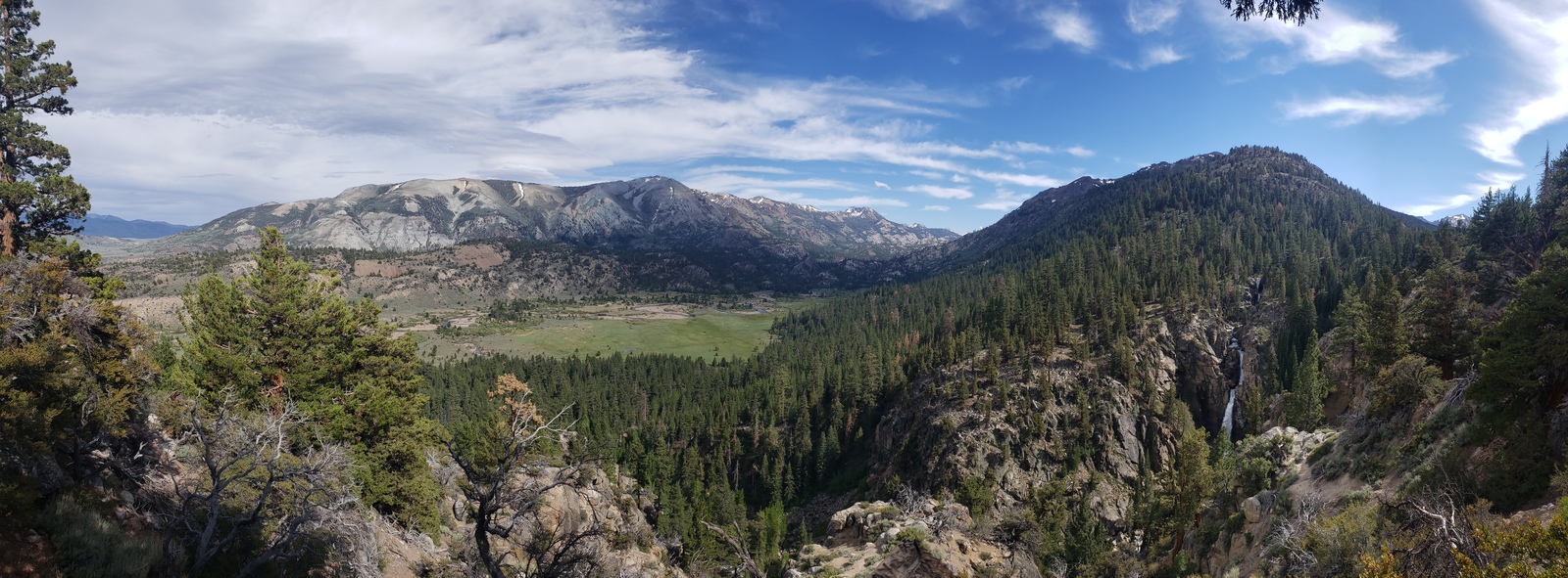
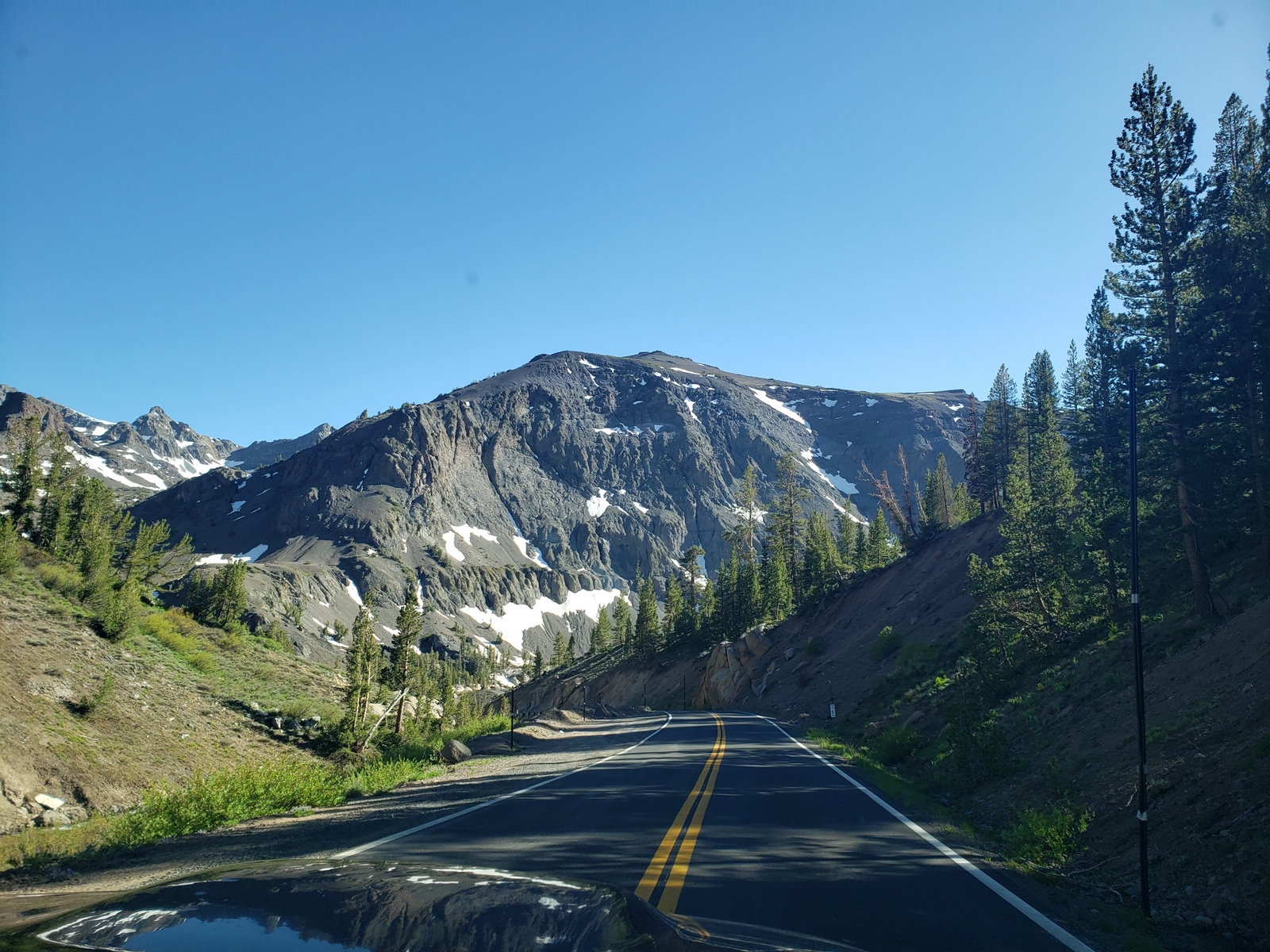
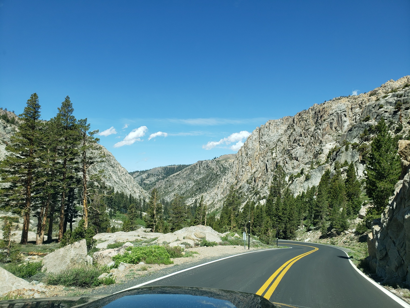
Before it gets too late, we finally head out for some exploration. Just in the truck – no trailer attached – we head west oh Hwy 108 towards Sonora Pass. Along the way, we check out the Leavitt Meadows Campground, Leavitt Falls, the rough – and later very and very, very rough – off-road 4-wheel low drive, including some screeching (maybe it’s me, maybe the truck) detour towards Leavitt Lake, before returning to the highway to continue towards and over the pass at 9,624 ft elevation. The truck tackles the 26% grade uphill just fine today, but even without a trailer attached we start to smell the breaks a little as we head down the mountain on the eastern side, with its hairpin turns and slopes as steep as 25%. But the views are unbeatable … must be our favorite pass over the Sierra Nevada mountains!
After checking out some potential boondocking sites and the campgrounds along 108 all the way to Dardanelles, we return eastwards to head back over the pass and to our campsite at Sonora Junction.
Day 39 (Tuesday, June 08, 2021)
Last day before our final leg home … so we relax some more! This certainly does not get old, even after 5+ weeks away.
The Marine Corps helicopters are out and about most of the afternoon, either to conduct some training or to check out our awesome Airstream trailer, as it peeks out of the woods here at the campsite. (I think it must be the latter!) At some point, the highway gets some action too, as military vehicles make their way towards base … should be interesting what we’ll get to see tomorrow, when we drive by on our way home.
Day 40 (Wednesday, June 09, 2021)
It’s finally time to return home. Even the longest, most scenic route has to come to an end, and with the spectacular drive across Sonora Pass along Hwy 108 towards the San Francisco East Bay we have a long but beautiful drive home, back to reality.
The next few days will be spent cleaning the trailer (Remember all that dust from Valley of the Gods in week 1? Well, there’s still some coming up after every time we drive!), doing laundry, figuring out live at home again and returning to a state of normal before work will capture our lives again next week Monday.
Stay tunes for out next trip. Until next time!
And because I just can’t help myself – a few statistics from our trip:
- Total trip went on for 40 days, covering 4,286 miles through 9 states (CA, AZ, UT, CO, WY, ID, MT, NV, OR). The Airstream Bambi trailer went along for only about 3,300 of those miles, spending the rest at campgrounds while we took the truck out alone.
- Our Toyota Tacoma truck used 370 gallon of gas at an average price of $3.97 for premium (lowest: $3.48 in WY, highest: $5.66 in CA) and got an average 11.1 MPG throughout the trip (lowest: 8.8 MPG climbing into AZ, highest: 18.9 MPG, driving around Yellowstone without the trailer).
- For the 40 nights we were gone, we stayed at 18 different camp spots, between 1 and 5 nights’ stays paying between $0 (free) and $90 per night, with no neighbors at all (wilderness camping) to occupying the very last open site with neighbors on all sides (at full hook-up campgrounds).
- We visited 10 National Parks, National Monuments and State Parks, plus countless National Forests, Wilderness Areas, and other sights to be seen.
- And last but not least – our 2021 Getting Away trip has a connection to our honeymoon trip 2014 to New Zealand: both included the Craters of the Moon! One in Idaho, the other on the north island of NZ! (see our blog from New Zealand 2014 – Day 6)


Sabine
Awesome trip!!!! This last part looks stunning – note to self, must go back to Oregon.
RIP Chipmunk, you only tried to hitch a ride with Ms J.T.